Heer Land
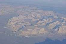
Heer Land as seen from the air in March 2016. Rindersbukta (front) is covered by sea ice.
Heer Land is a land area on the east coast of Spitsbergen, Svalbard. It is bordered by Rindersbukta to the southwest, Braganzavågen and Kjellströmdalen to the northwest, Storfjorden to the east and southeast, and Torell Land to the south. It is named after paleobotanist Oswald Heer.[1] Heer Land mainly consist of glaciers and nunataks.
Coordinates: 77°47′00″N 17°53′10″E / 77.78333°N 17.88611°E
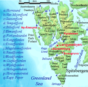
Heer Land is located on the eastern side of Spitsbergen.
References
- ↑ "Heer Land (Svalbard)". Norwegian Polar Institute. Retrieved 27 November 2015.
This article is issued from Wikipedia - version of the 4/4/2016. The text is available under the Creative Commons Attribution/Share Alike but additional terms may apply for the media files.