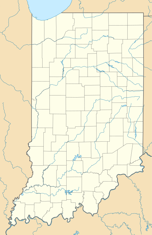
Hayden, Indiana
| Hayden, Indiana | |
|---|---|
| census-designated place | |
 Hayden, Indiana | |
| Coordinates: 38°58′59″N 85°44′26″W / 38.98306°N 85.74056°WCoordinates: 38°58′59″N 85°44′26″W / 38.98306°N 85.74056°W | |
| Country | United States |
| State | Indiana |
| County | Jennings |
| Township | Spencer |
| Elevation | 620 ft (190 m) |
| ZIP code | 47245 |
| GNIS feature ID | 435914[1] |
Hayden (also Hardenburgh or Six Mile) is an unincorporated census-designated place in central Spencer Township, Jennings County, Indiana, United States. It lies along CR700W, west of the town of Vernon, the county seat of Jennings County.[2] Its elevation is 620 feet (189 m), and it is located at 38°58′59″N 85°44′26″W / 38.98306°N 85.74056°W (38.9831094, -85.7405275).[3] Although Hayden is unincorporated, it has a post office, with the ZIP code of 47245.[4]
History
Hayden was platted in 1854.[5]
Notable people
- Cliff Daringer, Federal League baseball player
- Rolla Daringer, Major League Baseball player
- Edgar Whitcomb, former governor of Indiana and author
Climate
The climate in this area is characterized by hot, humid summers and generally mild to cool winters. According to the Köppen Climate Classification system, Hayden has a humid subtropical climate, abbreviated "Cfa" on climate maps.[6]
References
- ↑ "Hayden, Indiana". Geographic Names Information System. United States Geological Survey. Retrieved 2009-10-17.
- ↑ DeLorme. Indiana Atlas & Gazetteer. 3rd ed. Yarmouth: DeLorme, 2004, p. 52. ISBN 0-89933-319-2.
- ↑ Geographic Names Information System Feature Detail Report, Geographic Names Information System, 1979-02-14. Accessed 2008-06-01.
- ↑ Zip Code Lookup
- ↑ Baker, Ronald L. (October 1995). From Needmore to Prosperity: Hoosier Place Names in Folklore and History. Indiana University Press. p. 160. ISBN 978-0-253-32866-3.
This village was platted in 1854.
- ↑ Climate Summary for Hayden, Indiana
This article is issued from Wikipedia - version of the 10/24/2016. The text is available under the Creative Commons Attribution/Share Alike but additional terms may apply for the media files.