Harthill, South Yorkshire

Coordinates: 53°19′10″N 1°15′30″W / 53.31945°N 1.2583°W
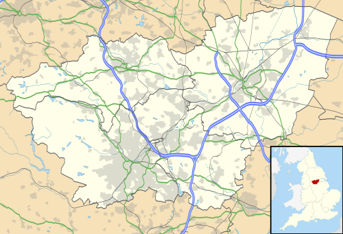
Harthill is a village in the Metropolitan Borough of Rotherham (part of South Yorkshire, England), on the border with Derbyshire. It lies between Killamarsh and Thorpe Salvin, and is located at approximately 53°19′10″N 1°15′30″W / 53.31944°N 1.25833°W, at an elevation of around 110 metres above sea level. In the 2001 census, the civil parish of Harthill with Woodall had a population of 1,909,[1] reducing slightly to 1,879 at the 2011 Census.[2]
Harthill is traditionally an agricultural village, although there is also a history of quarrying whetstones for use in knife-sharpening.
The parish church of All Hallows dates from 1085, when it was commissioned by William de Warenne. The tower is 14th century. The Dukes of Leeds, major landowners in the area, and their families are interred in the crypt.
Harthill has two public houses: the Beehive and the Blue Bell.
Harthill is the principal village in the civil parish of Harthill with Woodall. The parish also contains Harthill Reservoir which feeds the Chesterfield Canal, Nor Wood, and the hamlet of Woodall with its M1 motorway service station.
References
- ↑ "Census 2001 : Parish Headcounts : Rotherham". Neighbourhood Statistics. Office for National Statistics. Retrieved 28 August 2009.
- ↑ "Civil Parish population 2011". Neighbourhood Statistics. Office for National Statistics. Retrieved 9 March 2016.
External links
![]() Media related to Harthill, South Yorkshire at Wikimedia Commons
Media related to Harthill, South Yorkshire at Wikimedia Commons