Harpole
| Harpole | |
 Harpole |
|
| Population | 1,545 (2001 census) 1,546 (2011 census) |
|---|---|
| OS grid reference | SP691608 |
| – London | 69 mi (111 km) |
| Civil parish | Harpole |
| District | South Northamptonshire |
| Shire county | Northamptonshire |
| Region | East Midlands |
| Country | England |
| Sovereign state | United Kingdom |
| Post town | NORTHAMPTON |
| Postcode district | NN7 |
| Dialling code | 01604 |
| Police | Northamptonshire |
| Fire | Northamptonshire |
| Ambulance | East Midlands |
| EU Parliament | East Midlands |
| UK Parliament | Current: Northampton South From 2010 General Election: Daventry |
|
|
Coordinates: 52°14′30″N 0°59′27″W / 52.241603°N 0.990786°W
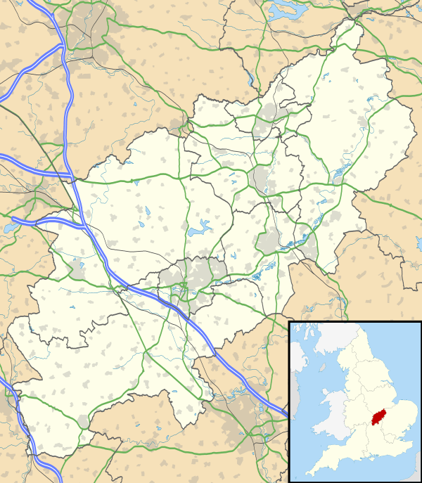
Harpole is a village 4 miles (6.4 km) west of Northampton, England, along the A4500 road (formerly the A45) about 1 mile (1.6 km) east of the M1 Motorway junction 16.
Governance
Harpole is in the district council area of South Northamptonshire where it is part of Harpole and Grange ward, together with the parishes of Milton Malsor, Kislingbury, Rothersthorpe and Gayton. It is also in the area of Northamptonshire County Council and the Parliamentary Constituency of Daventry. The MP is currently Chris Heaton-Harris (Conservative).
Geography
The M1 London to Yorkshire motorway junctions 16 and 15a are 2 miles (3.2 km) west and 3 miles (4.8 km) south respectively. It is 69 miles (111 km) north of London and 42 miles (68 km) southeast of Birmingham.
Demographics
2001 census data[1] shows 1,547 people resident in the Parish Council area consisting of 755 males and 792 females (the 2009 estimated population is 1,557[2]), in 636 households of which 82.6% were owner occupied or being purchased with a mortgage.
Facilities
It hosts three public houses: The Bull, located on the High Street; The Live and Let Live, located on Larkhall Lane; and the Turnpike or Beefeater, located at the Harpole Turn from the A4500 road (former A45 road).
Village events
Harpole hosts a scarecrow weekend in September, during which thousands of visitors enjoy the views of the historic village.[3]
References
- ↑ "UK census 2001 - data". Retrieved 31 October 2008.
- ↑ SNC (2010). South Northamptonshire Council Year Book 2010-2011. Towcester NN12 7FA. p. 39.
- ↑ Harpole Scarecrows
External links
![]() Media related to Harpole at Wikimedia Commons
Media related to Harpole at Wikimedia Commons