Grand-Saint-Esprit, Quebec
| Grand-Saint-Esprit | |
|---|---|
| Municipality | |
|
Motto: Liberté et Bienveillance ("Freedom and Benevolence") | |
 Location within Nicolet-Yamaska RCM. | |
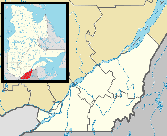 Grand-Saint-Esprit Location in southern Quebec. | |
| Coordinates: 46°11′N 72°30′W / 46.183°N 72.500°WCoordinates: 46°11′N 72°30′W / 46.183°N 72.500°W[1] | |
| Country |
|
| Province |
|
| Region | Centre-du-Québec |
| RCM | Nicolet-Yamaska |
| Constituted | May 14, 1938 |
| Government[2][3] | |
| • Mayor | Julien Boudreault |
| • Federal riding | Bas-Richelieu—Nicolet—Bécancour |
| • Prov. riding | Nicolet-Bécancour |
| Area[2][4] | |
| • Total | 27.20 km2 (10.50 sq mi) |
| • Land | 27.14 km2 (10.48 sq mi) |
| Population (2011)[4] | |
| • Total | 471 |
| • Density | 17.4/km2 (45/sq mi) |
| • Pop 2006-2011 |
|
| • Dwellings | 207 |
| Time zone | EST (UTC−5) |
| • Summer (DST) | EDT (UTC−4) |
| Postal code(s) | J0G 1B0 |
| Area code(s) | 819 |
| Highways |
|
| Website |
www |
Grand-Saint-Esprit is a municipality in the Centre-du-Québec region of the province of Quebec in Canada. The population as of the Canada 2011 Census was 471.
Demographics
Population
Population trend:[5]
| Census | Population | Change (%) |
|---|---|---|
| 2011 | 471 | |
| 2006 | 466 | |
| 2001 | 489 | |
| 1996 | 499 | |
| 1991 | 556 | N/A |
Language
Mother tongue language (2006)[6]
| Language | Population | Pct (%) |
|---|---|---|
| French only | 465 | 100.00% |
| English only | 0 | 0.00% |
| Both English and French | 0 | 0.00% |
| Other languages | 0 | 0.00% |
See also
References
- ↑ Reference number 26630 of the Commission de toponymie du Québec (French)
- 1 2 Ministère des Affaires municipales, des Régions et de l'Occupation du territoire: Grand-Saint-Esprit
- ↑ Parliament of Canada Federal Riding History: BAS-RICHELIEU--NICOLET--BÉCANCOUR (Quebec)
- 1 2 2011 Statistics Canada Census Profile: Nicolet, Quebec
- ↑ Statistics Canada: 1996, 2001, 2006, 2011 census
- ↑ 2006 Statistics Canada Community Profile: Nicolet, Quebec
 |
Nicolet | Bécancour | | |
| Sainte-Monique | |
Saint-Célestin (municipality) | ||
| ||||
| | ||||
| Saint-Léonard-d'Aston |
| Cities | |
|---|---|
| Municipalities | |
| Parishes | |
| Villages | |
| |
This article is issued from Wikipedia - version of the 5/8/2013. The text is available under the Creative Commons Attribution/Share Alike but additional terms may apply for the media files.