General Enrique Estrada
| General Enrique Estrada | |
|---|---|
 | |
 | |
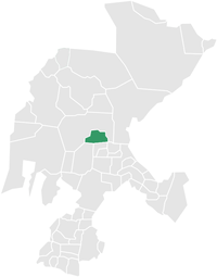 Location of municipality in Zacatecas | |
| Coordinates: 23°00′N 102°44′W / 23.000°N 102.733°WCoordinates: 23°00′N 102°44′W / 23.000°N 102.733°W | |
| Country |
|
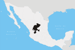
| State | Zacatecas |
| Municipality | General Enrique Estrada |
| Founded | September 25, 1725 |
| Government | |
| • Mayor | Jaime Arteaga Hernández |
| Elevation | 2,150 m (7,050 ft) |
| Population (2005) | |
| • Total | 3,436 |
| • Municipality | 5,486 |
| Time zone | CST (UTC-6) |
| Postal code | 98560 |
| Area code(s) | 478 |
| Website | www.enriqueestrada.gob.mx |
General Enrique Estrada is a city in the Mexican state of Zacatecas. It was named for General Enrique Estrada.
References
Zacatecas (capital) | ||
| Municipalities and (municipal seats) |
|  |
This article is issued from Wikipedia - version of the 3/2/2013. The text is available under the Creative Commons Attribution/Share Alike but additional terms may apply for the media files.