El Palmer Airport
| El Palmer Airport | |||||||||||
|---|---|---|---|---|---|---|---|---|---|---|---|
| IATA: none – ICAO: MSSA | |||||||||||
| Summary | |||||||||||
| Airport type | Public | ||||||||||
| Serves | Santa Ana | ||||||||||
| Elevation AMSL | 2,229 ft / 679 m | ||||||||||
| Coordinates | 14°04′00″N 89°37′57″W / 14.06667°N 89.63250°WCoordinates: 14°04′00″N 89°37′57″W / 14.06667°N 89.63250°W | ||||||||||
| Map | |||||||||||
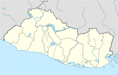 MSSA Location of the airport in El Salvador | |||||||||||
| Runways | |||||||||||
| |||||||||||
|
Source: Google Maps[1] | |||||||||||
El Palmer Airport (ICAO: MSSA) is an airport serving a number of communities in west-central Santa Ana Department, El Salvador. The runway is 11 kilometres (6.8 mi) northwest of the city of Santa Ana.
See also
 Aviation portal
- List of airports in El Salvador
References
External links
This article is issued from Wikipedia - version of the 3/6/2016. The text is available under the Creative Commons Attribution/Share Alike but additional terms may apply for the media files.