El Bluff Airport
| El Bluff Airport | |||||||||||
|---|---|---|---|---|---|---|---|---|---|---|---|
| IATA: none – ICAO: MNFF | |||||||||||
| Summary | |||||||||||
| Airport type | Public | ||||||||||
| Serves | El Bluff | ||||||||||
| Elevation AMSL | 1 ft / 0 m | ||||||||||
| Coordinates | 11°59′30″N 83°41′22″W / 11.99167°N 83.68944°WCoordinates: 11°59′30″N 83°41′22″W / 11.99167°N 83.68944°W | ||||||||||
| Map | |||||||||||
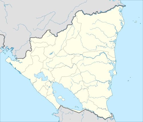 MNFF Location of the airport in Nicaragua | |||||||||||
| Runways | |||||||||||
| |||||||||||
| Helipads | |||||||||||
| |||||||||||
El Bluff Airport (ICAO: MNFF) is an airport on El Bluff, once an island in the entrance to Bluefields Bay, South Caribbean Coast Autonomous Region, Nicaragua, but now connected to the mainland via a causeway constructed between 2004 and 2007.[3] Historical images show progressive deterioration of the asphalt runway until a helicopter pad and hangar were built on the southwestern end in 2013.
The area is now served by Bluefields Airport (IATA: BEF, ICAO: MNBL) 9 kilometres (5.6 mi) across the bay at Bluefields, the regional capital. El Bluff is 4.8 nautical miles east of the Bluefields VOR (ident: BLU).[4]
See also
 Nicaragua portal
 Aviation portal
- List of airports in Nicaragua
- Transport in Nicaragua
References
- ↑ Great Circle Mapper - El Bluff
- ↑ Google Maps - El Bluff
- ↑ Google Earth Historical Images 1969-2014
- ↑ Skyvector Aeronautical Charts - El Bluff
External links
This article is issued from Wikipedia - version of the 10/29/2016. The text is available under the Creative Commons Attribution/Share Alike but additional terms may apply for the media files.