Bluefields Airport
| Bluefields International Airport | |||||||||||
|---|---|---|---|---|---|---|---|---|---|---|---|
 | |||||||||||
| IATA: BEF – ICAO: MNBL | |||||||||||
| Summary | |||||||||||
| Airport type | Military/Public | ||||||||||
| Operator | EAAI | ||||||||||
| Serves | Bluefields | ||||||||||
| Location | Bluefields | ||||||||||
| Elevation AMSL | 41 ft / 12 m | ||||||||||
| Coordinates | 11°59′27″N 083°46′27″W / 11.99083°N 83.77417°WCoordinates: 11°59′27″N 083°46′27″W / 11.99083°N 83.77417°W | ||||||||||
| Map | |||||||||||
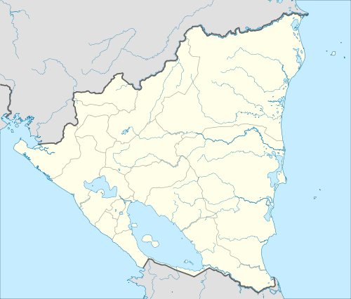 MNBL Location in Nicaragua | |||||||||||
| Runways | |||||||||||
| |||||||||||
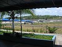
Bluefields International Airport (IATA: BEF, ICAO: MNBL) is an airport that serves Bluefields, Nicaragua. It is the busiest airport in the Caribbean coast of Nicaragua. A new terminal was opened recently and extension of the runway is planned. Currently, the airport serves only domestic and small international destinations, but plans are to make it international in the future. The airport is approximately 2 km (1.2 mi) from the city center, and there are taxis and buses available there.[4]
The Bluefields VOR/DME (ident: BLU) is located on the airfield.[5]
Airlines and destinations
| Airlines | Destinations |
|---|---|
| La Costeña | Corn Island, Managua, Puerto Cabezas |
| Nature Air | Charter: San José-Bolaños |
Accidents and incidents
- On 10 May 1982, two hijackers demanded a Curtiss-Wright C-46 Commando of Aeronica to leave its Bluefields-Corn Island route and land in Costa Rica instead. The pilots obeyed and landed at Limón International Airport in Costa Rica, where the perpetrators surrendered.
- On July 20 1999, a Cessna Grand Caravan operating as La Costeña flight 046 from Managua to Bluefields crashed into a remote hillside 50 km west of Bluefields when it descended prematurely, killing all 16 on board.
- On December 19 2007 a Short 360 Tremendous shock took the passengers and crew of an La Costeña airline when it "struck" a tire when attempting takeoff from Bluefields Airport. No-one was hurt.[6]
See also
 Nicaragua portal
 Aviation portal
- List of airports in Nicaragua
- Transport in Nicaragua
References
- ↑ Airport information for MNBL at World Aero Data. Data current as of October 2006.Source: DAFIF.
- ↑ Airport information for MNBL at Great Circle Mapper.
- ↑ Google Maps - Bluefields
- ↑ https://web.archive.org/web/20070408192658/http://www.eaai.com.ni/english/aero/blue.shtml. Archived from the original on April 8, 2007. Retrieved January 13, 2007. Missing or empty
|title=(help) - ↑ Bluefields VOR
- ↑ "Accident description - ASN". Aviation Safety Network. Retrieved 27 May 2015.
External links
This article is issued from Wikipedia - version of the 12/4/2016. The text is available under the Creative Commons Attribution/Share Alike but additional terms may apply for the media files.