Siuna Airport
| Siuna Airport | |||||||||||
|---|---|---|---|---|---|---|---|---|---|---|---|
 | |||||||||||
| IATA: SIU – ICAO: MNSI | |||||||||||
| Summary | |||||||||||
| Airport type | Public | ||||||||||
| Operator | Republic of Nicaragua | ||||||||||
| Serves | Siuna | ||||||||||
| Elevation AMSL | 606 ft / 185 m | ||||||||||
| Coordinates | 13°43′50″N 84°46′40″W / 13.73056°N 84.77778°WCoordinates: 13°43′50″N 84°46′40″W / 13.73056°N 84.77778°W | ||||||||||
| Map | |||||||||||
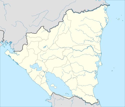 SIU Location in Nicaragua | |||||||||||
| Runways | |||||||||||
| |||||||||||
Siuna Airport (IATA: SIU, ICAO: MNSI) is an airport that serves Siuna, Nicaragua. Northbound, the runway runs uphill, with an elevation change of 130 feet (40 m).[3]
Domestic airlines
| Airlines | Destinations |
|---|---|
| La Costeña | Managua |
See also
 Nicaragua portal
 Aviation portal
- Transport in Nicaragua
- List of airports in Nicaragua
References
- ↑ Airport information for SIU at Great Circle Mapper.
- ↑ Google Maps - Siuna
- ↑ Google Earth (elev)
External links
This article is issued from Wikipedia - version of the 12/4/2016. The text is available under the Creative Commons Attribution/Share Alike but additional terms may apply for the media files.