Draycott, Worcestershire
| Draycott | |
 Hartland's Nursery |
|
 Draycott |
|
| OS grid reference | SO853480 |
|---|---|
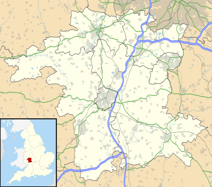
| Civil parish | Kempsey |
| District | Malvern Hills |
| Shire county | Worcestershire |
| Region | West Midlands |
| Country | England |
| Sovereign state | United Kingdom |
| EU Parliament | West Midlands |
|
|
Coordinates: 52°07′48″N 2°12′58″W / 52.13011°N 2.21616°W
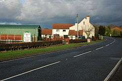
Draycott is a hamlet in the English county of Worcestershire.
It is located on the A38 road due south of the city of Worcester. It forms part of the civil parish of Kempsey and the Malvern Hills district.
| Wikimedia Commons has media related to Draycott, Worcestershire. |
This article is issued from Wikipedia - version of the 7/12/2010. The text is available under the Creative Commons Attribution/Share Alike but additional terms may apply for the media files.