West Malvern
| West Malvern | |
 West Malvern |
|
 West Malvern |
|
| Population | 1,385 |
|---|---|
| OS grid reference | SO764465 |
| Civil parish | West Malvern |
| District | Malvern Hills |
| Shire county | Worcestershire |
| Region | West Midlands |
| Country | England |
| Sovereign state | United Kingdom |
| Post town | MALVERN |
| Postcode district | WR14 |
| Police | West Mercia |
| Fire | Hereford and Worcester |
| Ambulance | West Midlands |
| EU Parliament | West Midlands |
| UK Parliament | West Worcestershire |
|
|
Coordinates: 52°06′59″N 2°20′46″W / 52.11631°N 2.34607°W
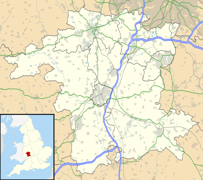
West Malvern is a village and a civil parish, located on the west side of the north part of the Malvern Hills, at the western edge of Worcestershire, England. The village has become effectively a suburb of Malvern and is part of the area often referred to as The Malverns and locally administered by Malvern Hills District Council as well as its own parish council.
Due to its altitude (up to 250m above sea level) West Malvern has panoramic views of the rolling Herefordshire countryside to the west.The village has a church (St. James) built in 1840, and a primary school (St. James Church of England Primary). The church is the site of the grave of Peter Mark Roget — author of Roget's Thesaurus.
The parish had a population of 1,385 in 2011.[1]
Culture
Since 2005 West Malvern has hosted an annual one-day music festival West Fest "to promote, encourage and showcase musicians, artists, craftspeople and performers from our community."[2] In years when West Fest makes a profit the committee distributes grants "to support community action, cultural development, training or to meet special needs."[3] From the profits of West Fest 2008 "a total of £7,150 was distributed" in the Malvern Hills area to 2nd Malvern Link Brownies, the Theatre of Small Convenience, West Malvern Sean Éireann McMahon Academy (Irish dancing), West Malvern Cricket Club, Malvern Mencap, St James Primary School, Leapfrogs Playgroup, and Malvern Access Group.[4] There has also been a regular weekly acoustic music session in the village each Sunday evening since 1996.
On 20–22 August 2010 a visual arts festival was held in the village, in support of the Malvern Hills Community Foundation, in a variety of venues including the Regents Theological College, St James's Church, St James Primary School, and the Brewers Arms pub. Local garages, gazebos, and even garden walls and railings were also used to display artworks. The event, which is intended to become annual, was modelled on a similar arts festival at Saint-Céneri-le-Gérei in Normandy, France.[5][6]
Landmarks
The Malvern Hills area is well known for its Malvern water and there are several springs and wells in West Malvern including Westminster Bank Spout, St James Churchyard Basin, West Malvern Tap, Hayslad, Royal Well, and Ryland's Well and St Thomas' Well.[7]
There were quarries around West Malvern including Dingle[8] and several more.[9]
Transport
Rail
The nearest — by distance by road — railway stations are Malvern Link (for the northern end of the parish) and Colwall (for the southern end); both are on the same line.
Bus
Local bus services connect West Malvern with the surrounding area.
References
- ↑ Neighbourhood Statistics
- ↑ West Fest aims and objectives Retrieved 25 August 2010
- ↑ West Fest grants Retrieved 25 August 2010
- ↑ West Fest grants Retrieved 25 August 2010
- ↑ West Malvern arts festival (from Malvern Gazette) Retrieved 25 August 2010
- ↑ Arts Festival "a wonderful occasion" (from Malvern Gazette) Retrieved 25 August 2010
- ↑ Malvern Spa Association
- ↑ Dingle Quarry Retrieved 25 August 2010
- ↑ Historical photos of West Malvern quarries Retrieved 25 August 2010
External links
| Wikimedia Commons has media related to West Malvern. |
- West Malvern Parish Council
- West Malvern Hall and Village
- Vision of Britain Historical record
- West Malvern historical photographs
- Dingle Quarry
- Historical photos of West Malvern quarries
- West Malvern Village web site
- West Fest web site
- West Malvern Social Club web site
- West Malvern Session web site
- St James Church