Draughton, Northamptonshire
Coordinates: 52°23′01″N 0°53′05″W / 52.3837°N 0.8848°W
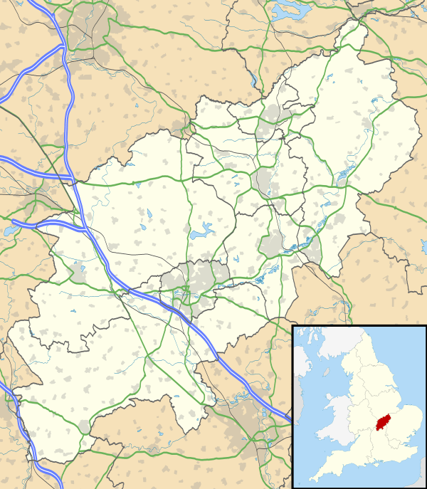
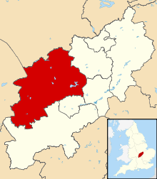
Draughton is a village and civil parish in the Daventry district of the county of Northamptonshire, England. It is situated approximately one mile east of Maidwell (where the population is included) at grid reference SP762767.
Notable buildings
The Historic England website contains details of a total of five listed buildings in the parish of Draughton, all of which are Grade II apart from St Catherine's Church, which is Grade II*.[1] They include:
- St Catherine's Church[2]
- Church Farmhouse[3]
- Old Rectory[4]
- Thor missile site at former RAF Harrington[5]
- K6 telephone kiosk[6]
References
- ↑ "Historic England – The List". Retrieved 10 October 2015.
- ↑ "Historic England – Church of St Catherine, Draughton". Retrieved 10 October 2015.
- ↑ "Historic England – Church Farmhouse". Retrieved 10 October 2015.
- ↑ "Historic England – The Old Rectory". Retrieved 10 October 2015.
- ↑ "Historic England – Thor missile site". Retrieved 10 October 2015.
- ↑ "Historic England – K6 telephone kiosk". Retrieved 10 October 2015.
External links
![]() Media related to Draughton, Northamptonshire at Wikimedia Commons
Media related to Draughton, Northamptonshire at Wikimedia Commons
This article is issued from Wikipedia - version of the 7/2/2016. The text is available under the Creative Commons Attribution/Share Alike but additional terms may apply for the media files.