Nobottle
| Nobottle | |
 Townsend Farm, Nobottle |
|
 Nobottle |
|
| OS grid reference | SP672630 |
|---|---|
| District | Daventry |
| Shire county | Northamptonshire |
| Region | East Midlands |
| Country | England |
| Sovereign state | United Kingdom |
| Post town | Northampton |
| Postcode district | NN7 |
| Dialling code | 01604 |
| Police | Northamptonshire |
| Fire | Northamptonshire |
| Ambulance | East Midlands |
| EU Parliament | East Midlands |
| UK Parliament | Daventry |
|
|
Coordinates: 52°15′43″N 1°00′57″W / 52.2619°N 1.0158°W
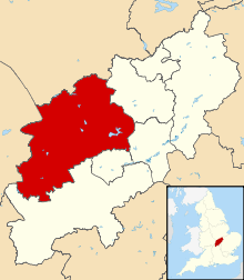
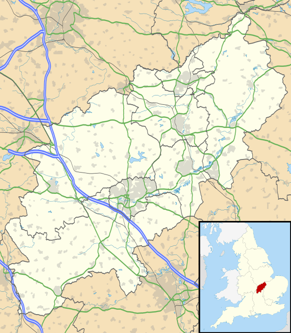
Nobottle is a hamlet in the Daventry district of the county of Northamptonshire in England. The population is included in the civil parish of Brington. It borders the Althorp estate, which owns much of the property. Nobottle used to have a 600yd rifle range (the only one in Northamptonshire), now shut by the MOD some 20 years (local knowledge). The Midshires Way long distance footpath passes through Nobottle. A Roman building was excavated here in 1927-9 and a hoard of 814 coins found, spanning several hundred years, but mostly of the late 4th century (Pevsner, The Buildings of England: Northamptonshire, 1961). With only 13 houses, about 1/2 a mile long, Nobottle is one of the smallest hamlets in England. However, Nobottle gave its name to a Saxon Hundred, and in 1849 the Nobottle Hundred comprised 18 parishes, with 9,000 inhabitants, though the hamlet itself then only had 99 inhabitants (Whellan, Directory of Northamptonshire, 1849). Nobottle is a place name in the north west corner of the map on the front endpapers of The Lord of the Rings by J.R.R. Tolkien, although it is not known if the author borrowed the unusual name from the Northamptonshire hamlet.
| Wikimedia Commons has media related to Nobottle. |