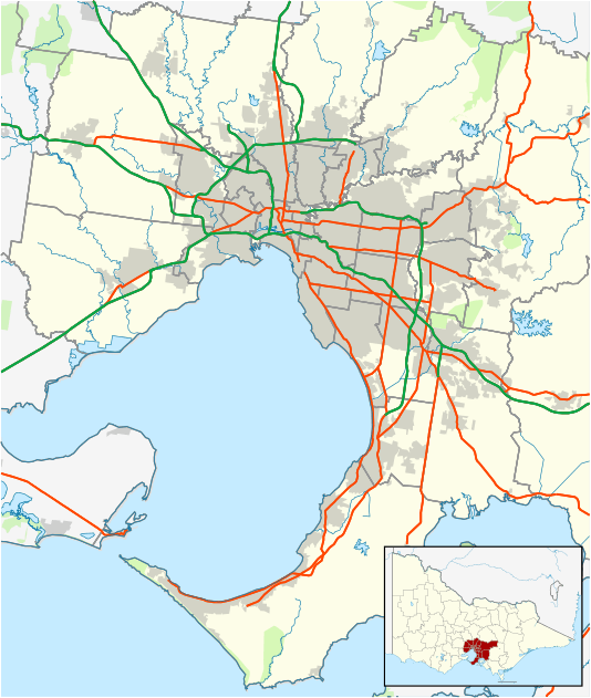
Donnybrook, Victoria
| Donnybrook Victoria | |||||||||||||
|---|---|---|---|---|---|---|---|---|---|---|---|---|---|
 Donnybrook | |||||||||||||
| Coordinates | 37°32′35″S 144°58′34″E / 37.543°S 144.976°ECoordinates: 37°32′35″S 144°58′34″E / 37.543°S 144.976°E | ||||||||||||
| Postcode(s) | 3064 | ||||||||||||
| LGA(s) | City of Whittlesea | ||||||||||||
| State electorate(s) | Yan Yean | ||||||||||||
| Federal Division(s) | McEwen | ||||||||||||
| |||||||||||||
Donnybrook is a bounded rural locality in Victoria, Australia. Its local government area is the City of Whittlesea. It is bounded to the west by Merri Creek and in the east by Darebin Creek.
The town consists of a railway station, general store, pub, spa and a small number of houses.
History
Kinlochewe Post Office opened in 1850; it was known as Donnybrook from 1854 until 1874 and was then renamed Kalkallo. Donnybrook Post Office later opened in 1889.[1]
References
- ↑ Premier Postal History, Post Office List, retrieved 2008-04-11
This article is issued from Wikipedia - version of the 6/13/2013. The text is available under the Creative Commons Attribution/Share Alike but additional terms may apply for the media files.