Dim Dam
| Dim Dam | |
|---|---|
 | |
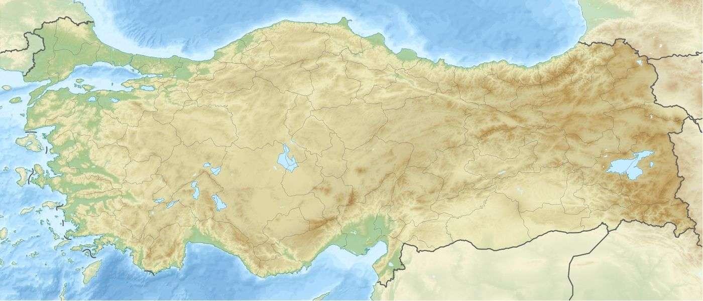 Location of Dim Dam in Turkey | |
| Official name | Dim Baraji |
| Country | Turkey |
| Location | Alanya |
| Coordinates | 36°33′03″N 32°8′22″E / 36.55083°N 32.13944°ECoordinates: 36°33′03″N 32°8′22″E / 36.55083°N 32.13944°E |
| Status | Operational |
| Construction began | 1996 |
| Opening date | 2007 |
| Dam and spillways | |
| Type of dam | Embankment, concrete-face rock-fill |
| Impounds | Dim River |
| Height (foundation) | 134.5 m (441 ft) |
| Height (thalweg) | 123.5 m (405 ft) |
| Length | 365 m (1,198 ft) |
| Width (crest) | 8 m (26 ft) |
| Dam volume | 4,950,000 m3 (6,474,356 cu yd) |
| Spillway type | Chute |
| Reservoir | |
| Total capacity | 253,000,000 m3 (205,110 acre·ft)[1] |
| Surface area | 4.5 km2 (2 sq mi) |
| Power station | |
| Installed capacity | 38 MW |
| Annual generation | 123 GWh |
Dim Dam is a concrete-face rock-fill dam on the Dim River located 12 km (7 mi) east of Alanya in Antalya Province, Turkey. Constructed between 1996 and 2007, the development was backed by the Turkish State Hydraulic Works. The primary purpose of the dam is water supply and it provides water for the irrigation of 5,312 ha (13,126 acres). Additionally, the dam supplies a 38 MW hydroelectric power plant with water.[2]
See also
References
- ↑ "CFRD practice in Turkey". International Water Power and Dam Construction. 17 April 2007. Retrieved 19 November 2011.
- ↑ "Dim Dam". State Hydraulic Works. Retrieved 19 November 2011.
This article is issued from Wikipedia - version of the 9/15/2015. The text is available under the Creative Commons Attribution/Share Alike but additional terms may apply for the media files.