Sarıyar Dam
| Sarıyar Dam | |
|---|---|
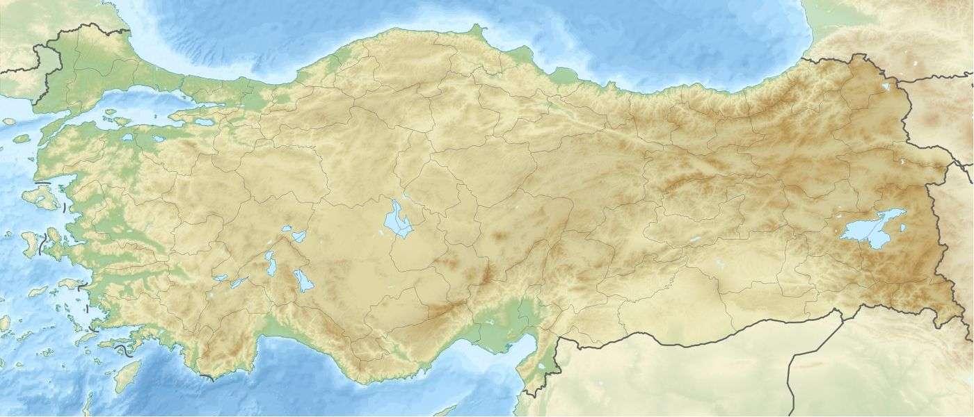 Location of Sarıyar Dam in Turkey | |
| Location | Ankara Province, Turkey |
| Coordinates | 40°02′23.34″N 31°24′51.54″E / 40.0398167°N 31.4143167°ECoordinates: 40°02′23.34″N 31°24′51.54″E / 40.0398167°N 31.4143167°E |
| Opening date | 1956 |
| Dam and spillways | |
| Type of dam | Concrete gravity |
| Impounds | Sakarya River |
| Height | 90 metres (300 ft) |
| Length | 554 metres (1,818 ft) |
| Spillway capacity | 7,800 m3/s |
| Reservoir | |
| Creates | Sarıyar reservoir |
| Total capacity | 1,910 cubic kilometres (460 cu mi) |
| Surface area | 84 square kilometres (32 sq mi) |
| Power station | |
| Commission date | 1956 |
| Turbines | 4 x 40 MW Francis-type |
| Installed capacity | 160 MW |
| Annual generation | 400 GWh |
Sarıyar Dam is a dam 23 kilometres (14 mi) north of the town of Sarıyar in the Nallıhan district of Ankara Province. It is 125 kilometres (78 mi) west of the city of Ankara, the central Anatolian capital of Turkey. It is also located 60 kilometres (37 mi) upstream of Gökçekaya Dam on the Sakarya River, which runs into the Black Sea. It was completed in 1956. The total power output from the hydroelectric facility is 160 MW (four facilities of 40 MW each).
This article is issued from Wikipedia - version of the 9/22/2015. The text is available under the Creative Commons Attribution/Share Alike but additional terms may apply for the media files.