Arkun Dam
| Arkun Dam | |
|---|---|
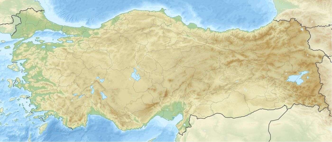
 Location of Arkun Dam in Turkey | |
| Country | Turkey |
| Location | İspir, Erzurum Province |
| Coordinates | 40°40′34.25″N 41°17′21.09″E / 40.6761806°N 41.2891917°ECoordinates: 40°40′34.25″N 41°17′21.09″E / 40.6761806°N 41.2891917°E |
| Purpose | Power |
| Status | Operational |
| Construction began | 2011 |
| Opening date | 2014 |
| Owner(s) | State Hydraulic Works |
| Dam and spillways | |
| Type of dam | Embankment, earth-fill |
| Impounds | Çoruh River |
| Height (foundation) | 188 m (617 ft) |
| Height (thalweg) | 140 m (459 ft) |
| Dam volume | 6,774,345 m3 (8,860,509 cu yd) |
| Reservoir | |
| Catchment area | 6,853 km2 (2,646 sq mi) |
| Power station | |
| Commission date | June 2014 |
| Hydraulic head |
Downstream: 225 m (738 ft) (gross)[1] Toe: 225 m (738 ft) 121 m (397 ft) (nominal)[2] |
| Turbines |
Downstream: 3 x 75 MW Francis-type Toe: 2 x 5.96 MW Francis-type |
| Installed capacity | 236.92 MW |
| Annual generation | 788 GWh (estimate) |
The Arkun Dam an embankment dam on the Çoruh River near İspir in Erzurum Province, Turkey. Construction began in 2011 and the primary purpose of the dam is hydroelectric power generation. It is part of the Çoruh Development Plan and its construction is being supervised by Turkey's State Hydraulic Works. The dam and power plant were completed early, in June 2014. Water from the dam's reservoir supplies two power stations; one at the dam's toe (base) (11.92 MW) and the other downstream (225 MW) in Artvin Province.[1][3]
See also
- Yusufeli Dam – under construction downstream
References
- 1 2 Sucu, Sezai. "Çoruh Basin Projects" (PDF) (in Turkish). State Hydraulic Works. Retrieved 7 May 2013.
- ↑ "Introductory File For Capacity Increase Within Arkun Dam and HEPP" (PDF). Dolsar. November 2010. Retrieved 7 May 2013.
- ↑ "As arkun Dam and HEPP was completed in a short period of 4 years." (in Turkish). State Hydraulic Works. 18 June 2014. Retrieved 25 February 2016.
This article is issued from Wikipedia - version of the 7/24/2016. The text is available under the Creative Commons Attribution/Share Alike but additional terms may apply for the media files.