Dewar, Iowa
| Dewar, Iowa | |
|---|---|
| Unincorporated community | |
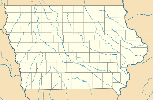 Dewar, Iowa Location within the state of Iowa | |
| Coordinates: 42°31′32″N 92°13′9″W / 42.52556°N 92.21917°WCoordinates: 42°31′32″N 92°13′9″W / 42.52556°N 92.21917°W | |
| Country | United States |
| State | Iowa |
| County | Black Hawk |
| Elevation | 889 ft (271 m) |
| Time zone | Central (CST) (UTC-6) |
| • Summer (DST) | CDT (UTC-5) |
| ZIP codes | 50623 |
| GNIS feature ID | 455900 |
Dewar is an unincorporated community in eastern Black Hawk County, Iowa, United States. It lies along local roads northeast of the city of Waterloo, the county seat of Black Hawk County.[1] Its elevation is 889 feet (271 m).[2] Although Dewar is unincorporated, it has a post office with the ZIP code of 50623,[3] which opened on 25 October 1887.[4]
Dewar (formerly known as Emert) was platted in 1888.[5]
References
- ↑ Rand McNally. The Road Atlas '08. Chicago: Rand McNally, 2008, p. 39.
- ↑ U.S. Geological Survey Geographic Names Information System: Dewar, Iowa
- ↑ Zip Code Lookup
- ↑ U.S. Geological Survey Geographic Names Information System: Dewar Post Office
- ↑ Hartman, John C. (1915). History of Black Hawk County, Iowa, and Its People, Volume 1. S. J. Clarke Publishing Company. p. 307.
Municipalities and communities of Black Hawk County, Iowa, United States | ||
|---|---|---|
| Cities | ||
| Townships | ||
| CDP | ||
| Other unincorporated communities | ||
| Footnotes | ‡This populated place also has portions in an adjacent county or counties | |
This article is issued from Wikipedia - version of the 10/27/2016. The text is available under the Creative Commons Attribution/Share Alike but additional terms may apply for the media files.