Clarksons Crossroads, Delaware
| Clarksons Crossroads, Delaware | |
|---|---|
| Unincorporated community | |
 Clarksons Crossroads  Clarksons Crossroads | |
| Coordinates: 38°42′52″N 75°39′9″W / 38.71444°N 75.65250°WCoordinates: 38°42′52″N 75°39′9″W / 38.71444°N 75.65250°W | |
| Country | United States |
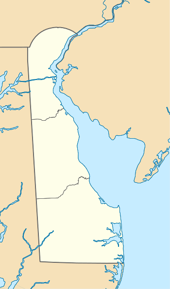
| State | Delaware |
| County | Sussex |
| Elevation | 49 ft (15 m) |
| Time zone | Eastern (EST) (UTC-5) |
| • Summer (DST) | EDT (UTC-4) |
| Area code(s) | 302 |
| GNIS feature ID | 216065[1] |
Clarksons Crossroads is an unincorporated community in Sussex County, Delaware, United States. Clarksons Crossroads is located at the intersection of Delaware Route 18 and Deerfield Road/Bucks Branch Road southwest of Bridgeville.[2]
References
- ↑ "Clarksons Crossroads". Geographic Names Information System. United States Geological Survey.
- ↑ Delaware Department of Transportation (2008). Delaware Official Transportation Map (PDF) (Map). Dover: Delaware Department of Transportation.
This article is issued from Wikipedia - version of the 7/31/2016. The text is available under the Creative Commons Attribution/Share Alike but additional terms may apply for the media files.