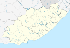
Clarkebury
| Clarkebury | |
|---|---|
 Clarkebury  Clarkebury  Clarkebury
| |
| Coordinates: 31°47′20″S 28°16′48″E / 31.789°S 28.280°ECoordinates: 31°47′20″S 28°16′48″E / 31.789°S 28.280°E | |
| Country | South Africa |
| Province | Eastern Cape |
| District | Chris Hani |
| Municipality | Engcobo |
| Established | 1830 |
| Area[1] | |
| • Total | 8.02 km2 (3.10 sq mi) |
| Population (2011)[1] | |
| • Total | 768 |
| • Density | 96/km2 (250/sq mi) |
| Racial makeup (2011)[1] | |
| • Black African | 98.2% |
| • Coloured | 1.3% |
| • White | 0.4% |
| • Other | 0.1% |
| First languages (2011)[1] | |
| • Xhosa | 98.7% |
| • Other | 1.3% |
| Postal code (street) | 5024 |
| PO box | 5024 |
| Area code | 047 |
Clarkebury is a village in Chris Hani District Municipality in the Eastern Cape province of South Africa. It was established in 1830 as a mission station of the Wesleyan Methodist Missionary Society. It was visited by James Backhouse in March 1839.[2]
References
- 1 2 3 4 "Main Place Clarkebury". Census 2011.
- ↑ "Clarkebury". South African History Online. Retrieved 21 December 2013.
This article is issued from Wikipedia - version of the 6/2/2015. The text is available under the Creative Commons Attribution/Share Alike but additional terms may apply for the media files.
.svg.png)