Ciudad Altamirano, Guerrero
| Ciudad Altamirano | |
|---|---|
| Municipal seat and city | |
 | |
|
Ciudad Altamirano Location in Mexico | |
| Coordinates: 18°20′50″N 100°39′11″W / 18.3472°N 100.6531°WCoordinates: 18°20′50″N 100°39′11″W / 18.3472°N 100.6531°W | |
| Country |
|
| State | Guerrero |
| Municipality | Pungarabato |
| Population (2005) | |
| • Total | 25,317 |
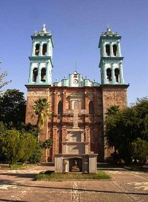
Ciudad Altamirano (until 1936, Pungarabato, a name of Purépecha origin) is a city in the "Tierra Caliente/Hot Land" region of the Mexican state of Guerrero. It serves as the municipal seat for Pungarabato Municipality.
It stands on the Cutzamala River, one of the main tributaries of the Balsas River, at a height of 230 metres (755 ft) above sea level.
In the 2005 INEGI census, the city reported a population of 25,317.
The city's name honours Ignacio Manuel Altamirano, a 19th-century president of the Supreme Court and writer born in Tixtla, Guerrero.
Altamirano, Guerrero has a paved airport named "Santa Barbara." The name comes from the sister town next to Altamirano. Most (if not all) people refer to it as simply Altamirano Airport, or "Aeropuerto Altamirano". The airport does not have any airline services, so the only ones using it are locals who own airplanes. Recently, a small military base was located at the airport.
References
- Ciudad Altamirano, Guerrero at GEOnet Names Server
- Ciudad Altamirano, Gro. Enciclopedia de los municipios de México