Chuckery, Ohio
| Chuckery, Ohio | |
|---|---|
| Unincorporated community | |
 | |
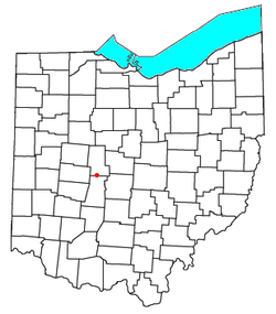 Location of Chuckery, Ohio | |
| Coordinates: 40°06′42″N 83°23′26″W / 40.11167°N 83.39056°W | |
| Country | United States |
| State | Ohio |
| County | Union |
| Elevation[1] | 981 ft (299 m) |
| Time zone | Eastern (EST) (UTC-5) |
| • Summer (DST) | EDT (UTC-4) |
| ZIP code | 43064 |
| Area code(s) | 614 |
| GNIS feature ID | 1039100[1] |
Chuckery is an unincorporated community located in far southwestern Darby Township, Union County, Ohio, United States. It is located at 40°06′42″N 83°23′26″W / 40.11167°N 83.39056°WCoordinates: 40°06′42″N 83°23′26″W / 40.11167°N 83.39056°W,[2] at the intersection of State Routes 38 and 161.[3]
With a history beginning in the early 19th century, it has risen and fallen in population, infrastructure, and presence.
The Little Darby Creek runs directly through the town, and the original stream was dredged around 1921. Approximately a six-mile (10 km) segment of the Little Darby was rerouted in order to reduce the meanderings of the stream, and especially was helpful as a flood control measure. The dredge route took place from Route 4 at Irwin heading east, then turned south and continued into Madison County until stopping at the intersection of Rosedale Plain City Road.
A significant part of the community is St. Paul's Lutheran Church, which was organized in 1892, and whose current building was completed in 1964.[4]
Post Office
The Chuckery Post office was established on April 8, 1898, but was discontinued on December 14, 1903. The mail service is now sent through the Plain City branch.[5]
References
- 1 2 "US Board on Geographic Names". United States Geological Survey. 2007-10-25. Retrieved 2008-01-31.
- ↑ U.S. Geological Survey Geographic Names Information System: Chuckery, Ohio
- ↑ Rand McNally. The Road Atlas '06. Chicago: Rand McNally, 2006, 80.
- ↑ St. Paul Lutheran Church, Chuckery, Ohio, 2007. Accessed 2007-10-13.
- ↑ U.S. Geological Survey Geographic Names Information System: Chuckery Post Office
External links
Municipalities and communities of Union County, Ohio, United States | ||
|---|---|---|
| Cities | 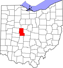 | |
| Villages | ||
| Townships | ||
| CDPs | ||
| Unincorporated communities | ||
| Ghost town | ||
| Footnotes | ‡This populated place also has portions in an adjacent county or counties | |