Chegutu
| Chegutu | ||
|---|---|---|
| ||
 Chegutu | ||
| Coordinates: 18°08′24″S 30°09′00″E / 18.14000°S 30.15000°ECoordinates: 18°08′24″S 30°09′00″E / 18.14000°S 30.15000°E | ||
| Country | Zimbabwe | |
| Province | Mashonaland West | |
| District | Chegutu District | |
| City | Chegutu Municipality | |
| Elevation | 1,180 m (3,870 ft) | |
| Population (2012) | ||
| • Total | 50,590 | |
| Time zone | CAT (UTC+2) | |
| • Summer (DST) | CEST (UTC+1) | |
| Climate | Cwa | |
Chegutu (formerly Hartley) is a town in Mashonaland West Province, Zimbabwe.
Location
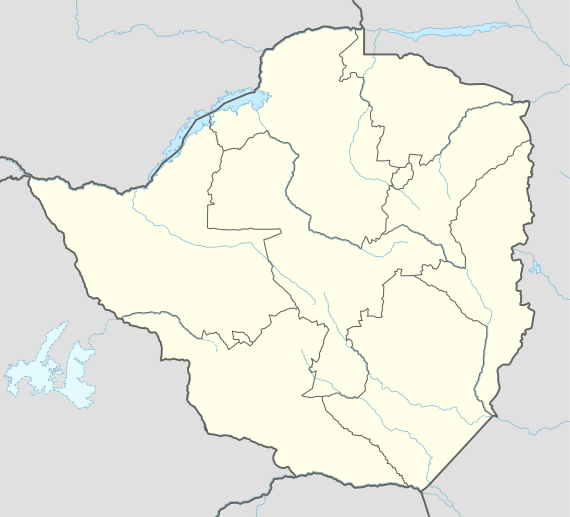
The town is located in Chegutu District, Mashonaland West, in central northern Zimbabwe. It lies in the Hartley Hills 107 kilometres (66 mi), southwest of the capital Harare at an altitude of 1,180 metres (3,870 ft) above sea level.[1]
Population
The 1982 population census recorded 19,621 inhabitants,[1] rising to 30,122 by 1992.[2] The population was estimated at 36,000 in 2002. By 2012 it had grown to 50,590 inhabitants.[3]
Transportation
Chegutu lies on the A5 highway between Harare and Bulawayo. It is also on the railway line between the two cities. Secondary roads link it to Chinhoyi, Chakari and the Mhondoro communal lands.[1]
Climate
Annual rainfall in Chegutu averages 775 millimetres (30.5 in). The town's mean temperatures vary between 23°C in the hottest month to 14°C in the coldest.[1]
Economy
Chegutu is the commercial and administrative centre of the surrounding district. Having been established as a mining settlement by gold prospectors, mining for gold and nickel remains important in the area. Its agricultural economy was developed significantly after the Second World War, with maize and cotton becoming major crops. One of Zimbabwe's largest textile mills was established there. Wheat is grown with the aid of irrigation from the nearby Mupfure River, and cattle rearing is also a significant activity. The Cotton and Grain Marketing Boards established depots in Chegutu for cotton and grain respectively, and by 1984 sixteen grain silos had been built in the town for the bulk storage and delivery of grain.[1]
History
Before 1982, Chegutu was known as Hartley, named after Henry Hartley, an early hunter and explorer. The settlement of Hartley was originally located in the Hartley Hills 34 kilometres (21 mi) east of where the town is located today. White settlers flocked to the area after gold was discovered and the Butterfly and Giant Mines were both established nearby. The settlement was moved to its present location in 1899. In 1901 the railway reached Hartley, which was proclaimed a village in 1903 and a town in 1942. A Town Council was established in 1968 and in 1974 Hartley was granted municipality status. In 1982 the town's name was officially changed to Chegutu.[1]
Mayors of Chegutu
| Year | Name | Party |
|---|---|---|
| 2001–2006 | Francis Dhlakama | MDC-T |
| 1994–2001 | unknown | |
| 1993–1994 | William Muringani | |
| 1990–1992 | Peter Gwanzura | |
| 1986–1989 | Cephas Teguru Nyandoro | |
| 1981–1985 | Bizek Mapuranga |
See also
References
- 1 2 3 4 5 6 Encyclopedia Zimbabwe (2nd ed.). Worcester: Arlington Business Corporation. 1989. ISBN 0-9514505-0-6.
- ↑ Historical Dictionary of Zimbabwe. Lanham, MD: Scarecrow Press, Inc. 2001. ISBN 0-8108-3471-5.
- ↑ "Zimbabwe 2012 Population Census Results – Chegutu Urban" (PDF). ZIMSTAT/UNICEF. October 2014.