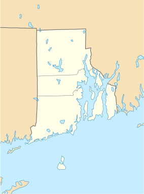
Charles Tillinghast House
|
Charles Tillinghast House | |
  | |
| Location | Newport, Rhode Island |
|---|---|
| Coordinates | 41°29′19″N 71°18′54″W / 41.48861°N 71.31500°WCoordinates: 41°29′19″N 71°18′54″W / 41.48861°N 71.31500°W |
| Built | 1715 |
| Part of | Newport Historic District (#68000001[1]) |
| NRHP Reference # | 72001576 [1] |
| Significant dates | |
| Added to NRHP | January 20, 1972 |
| Designated NHLDCP | November 24, 1968 |
The Charles Tillinghast House was an historic house at 243-245 Thames Street in downtown Newport, Rhode Island. It was a 2 1⁄2-story timber-frame structure, with a side-gable roof. Built c. 1710–20, it was one of the oldest buildings in the city. It was probably built by Charles Tillinghast, whose family was among the founders of Rhode Island. The house had a distinctive cove-shaped plaster cornice, typically only found on houses of this period. It was one of the very first houses to be built on Thames Street.[2]
The house was listed on the National Register of Historic Places in 1972.[1] It was demolished shortly thereafter to make way for an extension of America's Cup Highway to Memorial Boulevard.[3][4]
See also
References
- 1 2 3 National Park Service (2007-01-23). "National Register Information System". National Register of Historic Places. National Park Service.
- ↑ "NRHP nomination for Charles Tillinghast House" (PDF). National Park Service. Retrieved 2014-11-07.
- ↑ "3 Historic Places Put on Register". Newport Mercury. February 11, 1972 – via Newspapers.com.
- ↑ "List of Resources/Resource Inventory: Washington-Rochambeau Revolutionary Route in the State of Rhode Island and Providence Plantations" (PDF). Hudson River Valley Institute. Retrieved September 6, 2016.
This article is issued from Wikipedia - version of the 12/3/2016. The text is available under the Creative Commons Attribution/Share Alike but additional terms may apply for the media files.