Caribou Tuya
| Caribou Tuya | |
|---|---|
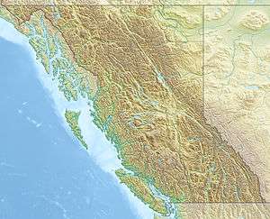 Caribou Tuya Location of Caribou Tuya in northern British Columbia | |
| Highest point | |
| Elevation | 1,770 m (5,810 ft) |
| Coordinates | 59°14′11″N 130°33′45″W / 59.23639°N 130.56250°WCoordinates: 59°14′11″N 130°33′45″W / 59.23639°N 130.56250°W |
| Geography | |
| Location | British Columbia, Canada |
| Parent range | Tuya Range |
| Geology | |
| Mountain type | Subglacial mound |
| Volcanic arc/belt | Northern Cordilleran Volcanic Province |
| Last eruption | Pleistocene |
Caribou Tuya is a basaltic subglacial mound in far northwestern British Columbia that began eruptive activity under glacial ice during the Fraser glaciation (25 to 10 ka). Like Ash Mountain and South Tuya, sections of the subglacial mound reveal a consistent stratigraphic progression from pillow lavas to hyaloclastite deposits from the base upward. Locally the sections are capped by subaerial basaltic lava flows. Samples of the glassy pillow basalts and hyaloclastites along with crystalline basalt flows were collected at Caribou Tuya. The volcano is believed to have formed and last erupted during the Pleistocene Epoch.[1]
See also
- List of volcanoes in Canada
- List of Northern Cordilleran volcanoes
- Volcanism of Canada
- Volcanism of Western Canada
- Volcanic history of the Northern Cordilleran Volcanic Province
References
- ↑ "Caribou Tuya". Catalogue of Canadian volcanoes. Archived from the original on 2011-06-04.
This article is issued from Wikipedia - version of the 9/9/2016. The text is available under the Creative Commons Attribution/Share Alike but additional terms may apply for the media files.