Caraballo Mountains
| Caraballo Mountains | |
|---|---|
 | |
| Geography | |
.svg.png) | |
| Country | Philippines |
| Provinces | |
| Range coordinates | 16°08′38″N 121°10′05″E / 16.1438°N 121.168°ECoordinates: 16°08′38″N 121°10′05″E / 16.1438°N 121.168°E |
| Borders on |
|
The Caraballo Mountains is a mountain range in the central part of Luzon island in the Philippines, situated between Cordillera Central and Sierra Madre mountain ranges. The mountains serve as the location of the headwaters of the Cagayan River, the longest in the country.
Gallery
 A section of the range at Dupax del Sur
 Another view from the fields of eastern Pangasinan
 Another view overlooking Dalton Pass
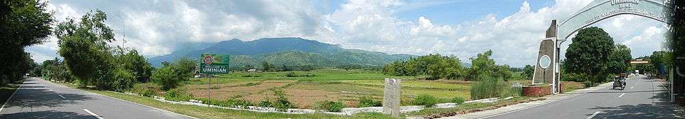
View of the mountains from the Welcome Arch in Umingan
See also
| Wikimedia Commons has media related to Caraballo Mountains. |
This article is issued from Wikipedia - version of the 10/8/2016. The text is available under the Creative Commons Attribution/Share Alike but additional terms may apply for the media files.