Cantrall Mill, California
| Cantrall Mill | |
|---|---|
| Unincorporated community | |
 Cantrall Mill  Cantrall Mill Location in California | |
| Coordinates: 41°19′09″N 120°19′39″W / 41.31917°N 120.32750°WCoordinates: 41°19′09″N 120°19′39″W / 41.31917°N 120.32750°W | |
| Country | United States |
| State | California |
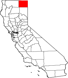
| County | Modoc County |
| Elevation[1] | 6,033 ft (1,839 m) |
Cantrall Mill is an unincorporated community in Modoc County, California.[1] It is located near the mouth of Cherry Creek 16 miles (26 km) southeast of Alturas,[2] at an elevation of 6033 feet (1839 m).[1]
References
This article is issued from Wikipedia - version of the 7/5/2016. The text is available under the Creative Commons Attribution/Share Alike but additional terms may apply for the media files.