Camarón de Tejeda (municipality)
| Camarón de Tejeda | |
|---|---|
| Municipality | |
|
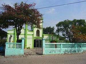
Church in Camarón de Tejeda | |
|
Camarón de Tejeda Location in Mexico | |
| Coordinates: 19°01′00″N 96°37′0″W / 19.01667°N 96.61667°WCoordinates: 19°01′00″N 96°37′0″W / 19.01667°N 96.61667°W | |
| Country |
|
| State | Veracruz |
| Municipal seat | Camarón de Tejeda |
| Government | |
| • Municipal President | Carlos Fermín Alarcón Fernández (PRI) |
| Area | |
| • Total | 74.38 km2 (28.72 sq mi) |
| Elevation | 320 m (1,050 ft) |
| Population (2005) | |
| • Total | 5,660 |
| • Density | 76/km2 (200/sq mi) |
| • Municipal seat | 2,019 |
| Time zone | CST (UTC-6) |
| • Summer (DST) | CDT (UTC-5) |
| Website | www.camarondetejeda.gob.mx |
Camarón de Tejeda Municipality is one of the 212 municipalities of the Mexican state of Veracruz. It is located in the state's southeast, in the Las Montañas region. The municipal seat is the city of Camarón de Tejeda. It covers a total of 74.38 km².
At the 2005 INEGI Census, the municipality reported a population of 5,660, of whom 2019 lived in the municipal seat.[1]
The municipality of Camarón de Tejeda is delimited to the east by the Soledad de Doblado, to the south and west by the Paso del Macho, and to the west by Zentla.
Camarón de Tejeda is famous for the Battle of Camarón, fought on 30 April 1863 between the French Foreign Legion and the Mexican Army.
References
- ↑ "Camarón de Tejeda". Enciclopedia de los Municipios de México. Instituto Nacional para el Federalismo y el Desarrollo Municipal. Retrieved 2008-11-08.
External links
- (Spanish) Municipal Official Site
- (Spanish) Municipal Official Information
This article is issued from Wikipedia - version of the 7/27/2015. The text is available under the Creative Commons Attribution/Share Alike but additional terms may apply for the media files.