Burrowa-Pine Mountain National Park
| Burrowa-Pine Mountain National Park Victoria | |
|---|---|
|
IUCN category II (national park) | |
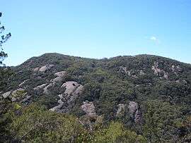 Pine Mountain, located within the park. | |
 Burrowa-Pine Mountain National Park | |
| Nearest town or city | Walwa |
| Coordinates | 36°05′24″S 147°45′29″E / 36.09000°S 147.75806°ECoordinates: 36°05′24″S 147°45′29″E / 36.09000°S 147.75806°E |
| Established | 16 May 1978[1] |
| Area | 184 km2 (71.0 sq mi)[2] |
| Managing authorities | Parks Victoria |
| Website | Burrowa-Pine Mountain National Park |
| See also | Protected areas of Victoria |
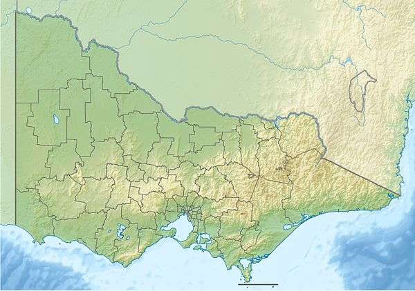
The Burrowa-Pine Mountain National Park is a national park in the Hume region of Victoria, Australia. The 18,400-hectare (45,000-acre)[2] national park is situated approximately 315 kilometres (196 mi) northeast of Melbourne and 120 kilometres (75 mi) east of Albury-Wodonga.
The Pine Mountain, one of the largest monoliths in Australia, is located within the park[3] and is believed to be 1.5 times the size of Uluru.[2] The highest peak in the park is Mount Burrowa at an elevation of 1,300 metres (4,300 ft) above sea level.[2]
See also
References
- ↑ "Burrowa-Pine Mountain National Park management plan" (PDF). Parks Victoria (PDF). Victorian Government. June 1996. p. 2. ISBN 0-7306-6187-3. Retrieved 10 August 2014.
- 1 2 3 4 "Burrowa-Pine Mountain National Park: Visitor Guide" (PDF). Parks Victoria (PDF). Victorian Government. August 2012. Retrieved 10 August 2014.
- ↑ "Burrowa-Pine Mountain National Park". Parks Victoria. Victorian Government. Retrieved 31 August 2013.
This article is issued from Wikipedia - version of the 4/4/2016. The text is available under the Creative Commons Attribution/Share Alike but additional terms may apply for the media files.