Heathcote-Graytown National Park
| Heathcote-Graytown National Park Victoria | |
|---|---|
|
IUCN category II (national park) | |
 Heathcote-Graytown National Park | |
| Nearest town or city | Heathcote |
| Coordinates | 36°47′46.8″S 144°51′58.8″E / 36.796333°S 144.866333°ECoordinates: 36°47′46.8″S 144°51′58.8″E / 36.796333°S 144.866333°E |
| Established | 30 October 2002[1] |
| Area | 128.33 km2 (49.5 sq mi)[2] |
| Managing authorities | Parks Victoria |
| Website | Heathcote-Graytown National Park |
| See also | Protected areas of Victoria |
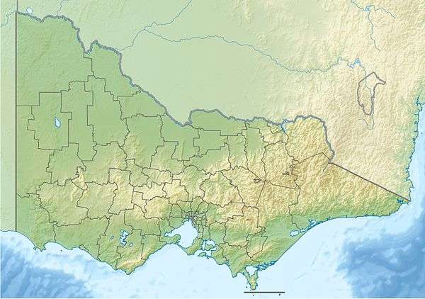
The Heathcote-Graytown National Park is a national park located in the North Central region of Victoria, Australia. The 12,833-hectare (31,710-acre) national park, which includes sections of the Great Dividing Range, adjoins a number of state forests, including the McIvor Ranges State Forest and is located just outside the town of Heathcote.
The park lies within the Rushworth Box-Ironbark Region Important Bird Area, identified as such by BirdLife International because of its importance for swift parrots and other woodland birds.[3]
The area was gazetted as a national park by the Victorian Government on 30 October 2002. This was a controversial issue at the time. It was primarily proclaimed to protect Victoria's diminishing box-ironbark forests, crucial in retaining Victoria's biodiversity.
See also
References
- ↑ "Heathcote-Graytown National Park and Spring Creek Nature Conservation Reserve management plan" (PDF). Parks Victoria (PDF). Government of Victoria. February 2008. p. 1. Retrieved 20 August 2014.
- ↑ "Heathcote-Graytown National Park: Visitor Guide" (PDF). Parks Victoria (PDF). Government of Victoria. June 2013. Retrieved 20 August 2014.
- ↑ "IBA: Rushworth Box-Ironbark Region". Birdata. Birds Australia. Retrieved 1 October 2011.