British Columbia Highway 13
| ||||
|---|---|---|---|---|
|
264th Street Aldergrove-Bellingham Highway | ||||
|
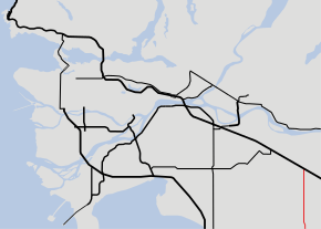
Highway 13 highlighted in red. | ||||
| Route information | ||||
| Length: | 11.4 km (7.1 mi) | |||
| Existed: | 1958 – present | |||
| Major junctions | ||||
| South end: |
| |||
|
| ||||
| North end: |
| |||
| Highway system | ||||
|
British Columbia provincial highways
| ||||

Highway 13 is an 11.4 km (7.1 mi) long two-lane route through the eastern part of Langley, British Columbia. Highway 13 essentially serves the function of quick access from Washington state to the central Fraser Valley, and vice versa. Highway 13 first opened in 1958 between the Canada/United States border and the present day Highway 1A, and was extended north to the present day Highway 1 in 1968.
Route details
Highway 13 begins in the south at its connection to Washington State Route 539 at the international border, and follows 264th Street north for 7 km (4 mi) to its junction with Highway 1A at Aldergrove. Past Highway 1A, Highway 13 goes north for 5 more km (3 mi) to end at an interchange with Highway 1.
This article is issued from Wikipedia - version of the 8/18/2016. The text is available under the Creative Commons Attribution/Share Alike but additional terms may apply for the media files.