Bray Island
 Bray Island, Nunavut. | |
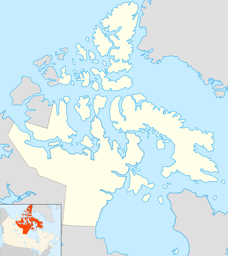 Bray Island Location in Nunavut | |
| Geography | |
|---|---|
| Location | Foxe Basin |
| Coordinates | 69°16′N 77°00′W / 69.267°N 77.000°WCoordinates: 69°16′N 77°00′W / 69.267°N 77.000°W |
| Archipelago | Canadian Arctic Archipelago |
| Area | 689 km2 (266 sq mi) |
| Administration | |
| Territory | Nunavut |
| Region | Qikiqtaaluk |
| Demographics | |
| Population | Uninhabited |
Bray Island is one of the Canadian Arctic islands located in Nunavut, Canada along the southern coast of Baffin Island. It is located in Foxe Basin, at 69°16'N 77°00'W, and has an area of 689 km2 (266 sq mi).[1]
Bray Island was the home of FOX-A, a Distant Early Warning Line and now a North Warning System site.
References
- ↑ "The Atlas of Canada - Sea Islands". Natural Resources Canada. Retrieved 2011-05-05.
This article is issued from Wikipedia - version of the 11/28/2016. The text is available under the Creative Commons Attribution/Share Alike but additional terms may apply for the media files.