Botallack Mine
| Botallack Mine | |
|---|---|
|
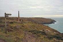
Engine houses at Crown Mines | |
| Type | industrial heritage, mine |
| Coordinates | 50°8′24″N 5°41′27″W / 50.14000°N 5.69083°WCoordinates: 50°8′24″N 5°41′27″W / 50.14000°N 5.69083°W |
| Owner | National Trust |
| Type | Cultural |
| Criteria | ii, iii, iv |
| Designated | 2006 (30th session) |
| Part of | Cornwall and West Devon Mining Landscape |
| Reference no. | 1215 |
| United Kingdom | Europe and North America |
Listed Building – Grade II | |
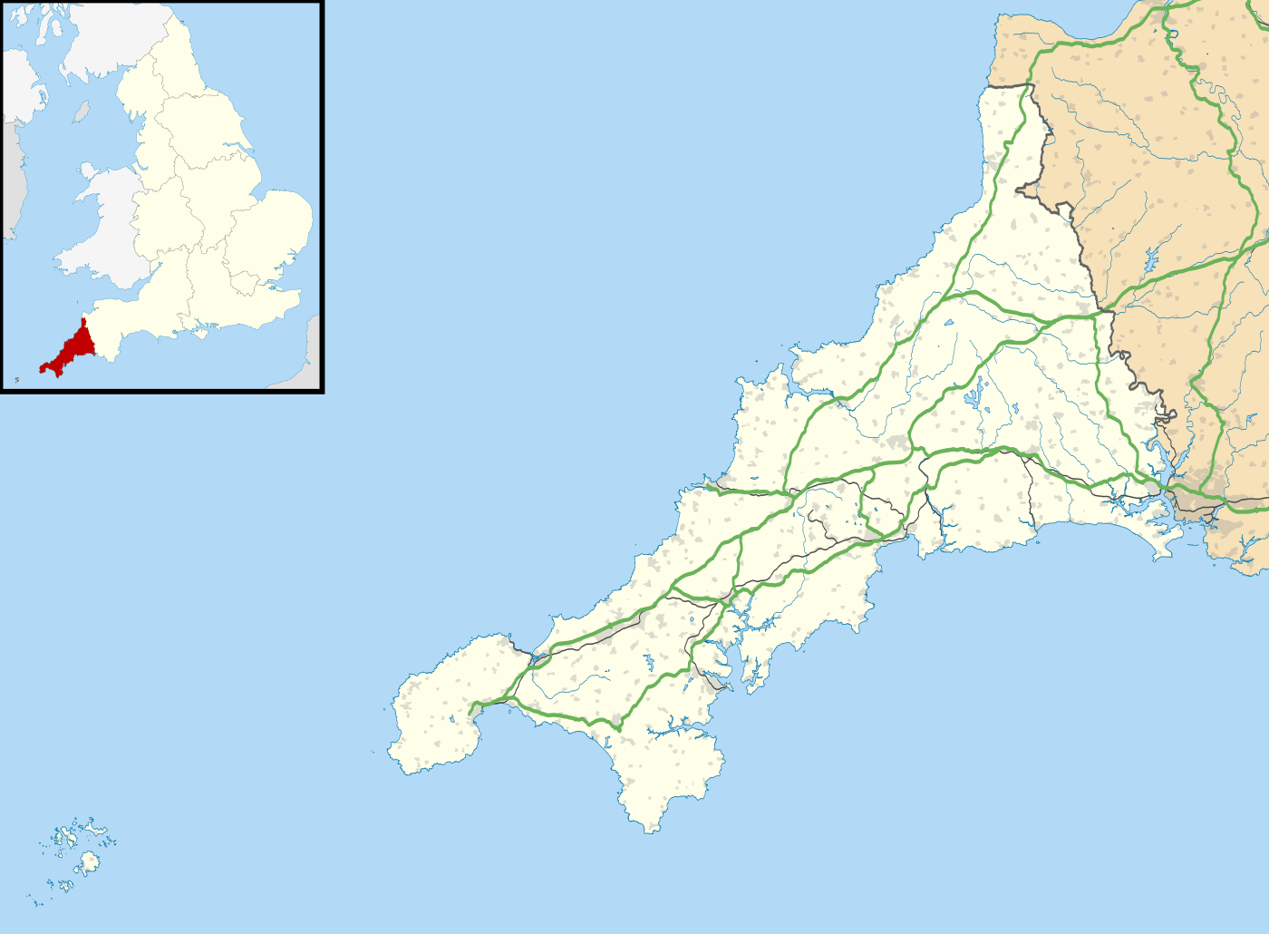 Location of Botallack Mine in Cornwall | |

The Botallack Mine (Cornish: Bostalek) is a former mine in Botallack in the west of Cornwall, England, UK. Since 2006 it has been part of the UNESCO World Heritage Site – Cornwall and West Devon Mining Landscape. The mine is within the Aire Point to Carrick Du Site of Special Scientific Interest (SSSI) and the South West Coast Path passes through the cove.
Location
The village of Botallack is on the B3306 road, in a former tin and copper mining area situated between the town of St Just in Penwith and the village of Pendeen.[1]
History
It is unclear how far back mining activity goes in this location. Early records date from the 1500s. Some archaeological evidence points to mining here in the Roman era or even as far back as the Bronze Age.[2]
Botallack was a submarine mine, with tunnels extending under the sea, in places for half a mile. Over its recorded lifetime, the mine produced around 14,500 tonnes of tin, 20,000 tonnes of copper and 1,500 tonnes of arsenic. An estimated 1.5 million tonnes of waste would have been dug up with the minerals.[2] In the 1860s a new diagonal shaft was dug. In 1865, the Prince and Princess of Wales visited and descended down the shaft, creating a mini-boom in tourism that caused the mine operators to charge visitors a guinea per person.[2] The mine closed in 1895 as a result of falling tin and copper prices.[2] The mining developments around Botallack form part of the St Just mining district's successful inclusion in the Cornwall and West Devon Mining Landscape World Heritage site which was inscribed in July 2006.[2]
The 1970s BBC television series Poldark was filmed partly in Botallack, using Manor Farm as Nampara.[3] More recently, filming for the new Poldark series also took place here.[2]
Description
The engine houses in the Crowns section of Botallack Mine are set low down the cliffs north of Botallack. There are two engine houses here and the remains of another pair on the cliff slopes above; the mine extends for about 400 metres out under the Atlantic ocean; the deepest shaft is 250 fathoms (about 500 metres) below sea level. The workings of Botallack Mine extend inland as far as the St. Just to St. Ives road, and at times included Wheal Cock further to the north-east.
The mine buildings on Botallack Cliffs are protected by the National Trust. There are two arsenic works opposite the Botallack Mine count house. At the top of the cliffs there are also the remains of one of the mine's arsenic-refining works.[4]
The mineral Botallackite has its type locality here.[5]
References
| Wikimedia Commons has media related to Botallack Mine. |
- ↑ OS Explorer 102 Land's End (Map). Southampton: Ordnance Survey. 2015. ISBN 978 0 319 24304 6.
- 1 2 3 4 5 6 "Botallack". National Trust. Retrieved 3 December 2016.
- ↑ "Film & Television Locations in Cornwall". Cornwall Calling. Retrieved 3 December 2016.
- ↑ "Seven Man Made Wonders". BBC. Retrieved 3 December 2016.
- ↑ "Botallackite". mindat.org. Hudson Institute of Mineralogy. Retrieved 3 December 2016.
Cornwall Portal | |
| Unitary authorities | |
| Major settlements |
|
| Rivers | |
| Topics | |