Borroloola Airport
| Borroloola Airport | |||||||||||
|---|---|---|---|---|---|---|---|---|---|---|---|
| IATA: BOX – ICAO: YBRL | |||||||||||
| Summary | |||||||||||
| Airport type | Public | ||||||||||
| Owner | Northern Territory Government | ||||||||||
| Operator | Department of Infrastructure, Planning and Environment | ||||||||||
| Serves | Borroloola | ||||||||||
| Location | Borroloola, Northern Territory, Australia | ||||||||||
| Elevation AMSL | 55 ft / 17 m | ||||||||||
| Coordinates | 16°04′05″S 136°18′01″E / 16.06806°S 136.30028°ECoordinates: 16°04′05″S 136°18′01″E / 16.06806°S 136.30028°E | ||||||||||
| Map | |||||||||||
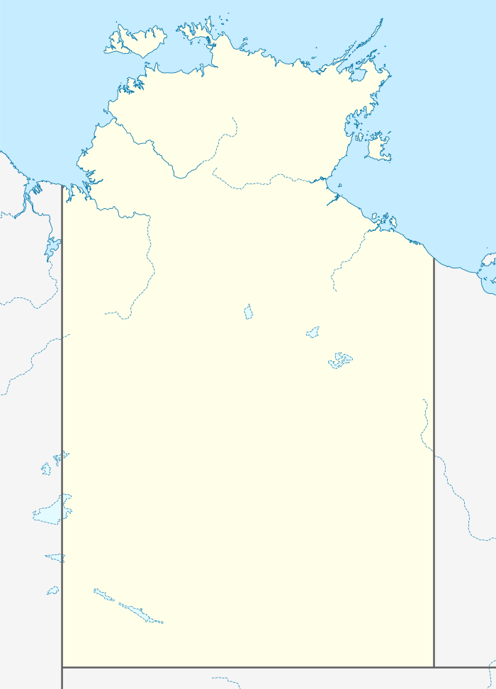
 YBRL Location in the Northern Territory | |||||||||||
| Runways | |||||||||||
| |||||||||||
Borroloola Airport (IATA: BOX, ICAO: YBRL) is an airport located approximately 1.5 km (0.93 mi) south of Borroloola in the Northern Territory, Australia.
Facilities and operations
The airport has a single sealed runway measuring 1,113 m × 18 m (3,652 ft × 59 ft). Portable runway lighting is available for emergency operation at night. Due to its remote location, air traffic is infrequent and there is no control tower. Pilots co-ordinate takeoffs and landings using a Common Traffic Advisory Frequency. There is a Non-Directional Beacon radio navigation aid located close to the airport. Fuel is available by arrangement with the ground handling agent.[2] The terminal facilities consist of a basic waiting shelter and a public toilet.
There are currently no airlines or scheduled passenger flights serving Borroloola however several charter companies offer flights to the airport, including Katherine Aviation who have a pilot and Cessna aircraft permanently based at the airport to operate on demand charter flights to Katherine and other communities, and scenic flights to the nearby Sir Edward Pellew Islands and surrounding attractions. There is also a twice weekly mail plane from Katherine and the airstrip is available 24 hours a day for medical evacuation flights.[3]
Accidents and incidents
- On 31 November 1987 a Cessna 172 was stolen from Borroloola airport after the engine was started using the frame from a pair of sunglasses. During takeoff, the tail of the aircraft struck the runway and an attempt to correct this by reducing power led to the aircraft's nosewheel striking the ground. It then ran off the runway and came to rest upside down. The person at the controls had never undertaken formal flight training or held a pilots licence.[4]
See also
References
- ↑ YBRL – Borroloola (PDF). AIP En Route Supplement from Airservices Australia, effective 10 November 2016
- ↑ "Information about Borroloola Airport". Retrieved 26 July 2012.
- ↑ "Community Profile Borroloola" (PDF). General Practice Network NT. Retrieved 26 July 2012.
- ↑ "Aviation Safety Investigation Report 198700755" (pdf). Australian Transport Safety Bureau. 24 March 1988. Retrieved 26 July 2012.