Gould Airfield
| Gould Airfield | |||||||||||
|---|---|---|---|---|---|---|---|---|---|---|---|
| IATA: none – ICAO: none | |||||||||||
| Summary | |||||||||||
| Location | Batchelor, Northern Territory, Australia | ||||||||||
| Coordinates | 13°05′11.42″S 131°02′13.88″E / 13.0865056°S 131.0371889°ECoordinates: 13°05′11.42″S 131°02′13.88″E / 13.0865056°S 131.0371889°E | ||||||||||
| Map | |||||||||||
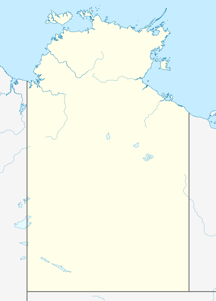
 Gould Airfield Location within Northern Territory | |||||||||||
| Runways | |||||||||||
| |||||||||||
Gould Airfield was an airfield south of Batchelor Airfield at Batchelor, Northern Territory, Australia during World War II.
The runway was 6,000 ft × 150 ft (1,829 m × 46 m).
1945 Lockheed Ventura crash
On 27 January 1945, a RAAF Lockheed Ventura crashed 800 yards south-east of the airfield, killing all 6 crew members on board.[1]
See also
References
- ↑ Dunn, Peter. "CRASH OF A LOCKHEED VENTURA AT GOULD AIRFIELD, NT ON 27 JANUARY 1945". www.ozatwar.com. Retrieved 30 January 2013.
- Sources
- National Archives of Australia
This article is issued from Wikipedia - version of the 12/4/2016. The text is available under the Creative Commons Attribution/Share Alike but additional terms may apply for the media files.