Bonnie View, California
Coordinates: 39°22′57″N 122°41′06″W / 39.38250°N 122.68500°W
| Bonnie View | |
|---|---|
| Unincorporated community | |
 Bonnie View  Bonnie View Location in California | |
| Coordinates: 39°22′57″N 122°41′06″W / 39.38250°N 122.68500°W | |
| Country | United States |
| State | California |
| County | Colusa County |
| Elevation[1] | 2,943 ft (897 m) |
Bonnie View is a privately owned unincorporated community in Colusa County, California. It lies at an elevation of 2943 feet on Snow Mountain. Bonnie View was settled by John and Mary Caldwell about 1875 under the Homestead Act of 1862. The Caldwell family lived on the land for many years prior to receiving their official land grant in 1896. Originally 160 acres, Bonnie View is now 70 acres surrounded to the north, west and south by the Mendocino National Forest. The property is owned by five families, each with an undivided 1/5 interest. The name Bonnie View presumably derives from the view east which includes the community of Stonyford, East Park Reservoir, the Sutter Buttes, and the Sierra Nevada Mountains.
References
Municipalities and communities of Colusa County, California, United States | ||
|---|---|---|
| Cities | 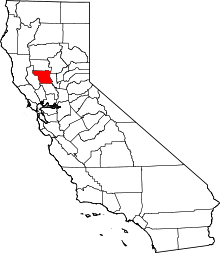 | |
| CDPs | ||
| Unincorporated communities | ||
| Ghost towns | ||
| Footnotes | ‡This populated place also has portions in an adjacent county or counties | |