Boko, Kamrup
| Boko বকো | |
|---|---|
| Town | |
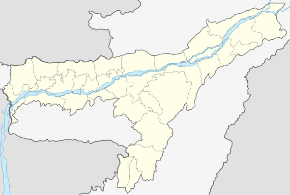 Boko  Boko Location in Assam, India | |
| Coordinates: 25°58′40″N 91°14′08″E / 25.97777°N 91.23557°ECoordinates: 25°58′40″N 91°14′08″E / 25.97777°N 91.23557°E | |
| Country |
|
| State | Assam |
| District | Kamrup |
| Government | |
| • Body | Nagar Palika |
| Languages | |
| • Official | Assamese |
| Time zone | IST (UTC+5:30) |
| PIN | 781123 |
| ISO 3166 code | IN-AS |
| Vehicle registration | AS |
| Website |
kamrup |
Boko is a town in Kamrup Rural district of Assam. It is on south bank of the river Brahmaputra.[1] [2]
Transport
Boko is at National Highway 37. It is well connected with Guwahati and other major nearby towns with private and commercial vehicles.
Boko is also an important transportation centre for travelling to Chamaria,Tarabari,Hahim,Lampi(Langpih) etc.
It is just 43 km west of Guwahati International Airport.
Politics
Boko is part of Gauhati (Lok Sabha constituency).
Boko is itself one of the constituencies of the assam legislative assembly
Boko town is under the Rabha Hasong Autonomous Council(RHAC)
Nandita Das is the current MLA of Boko.
Etymology
It is believed that Boko was once a separate kingdom ruled by a local king named Bogai. Boko derives its name from the word baka which also means the bird crane.
See also
References
- ↑ "Boko". onefivenine.com. Retrieved 2012-12-30.
- ↑ "Boko PinCode". pincode.org.in. Retrieved 2015-02-18.