Beryl, Utah
| Beryl | |
|---|---|
| Unincorporated community | |
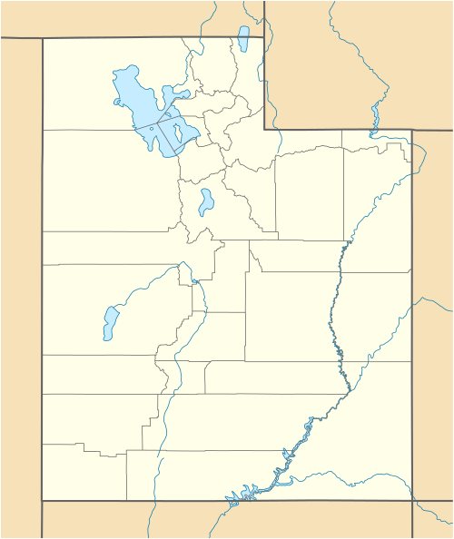
 Beryl Location within the state of Utah | |
| Coordinates: 37°53′45″N 113°39′41″W / 37.89583°N 113.66139°WCoordinates: 37°53′45″N 113°39′41″W / 37.89583°N 113.66139°W | |
| Country | United States |
| State | Utah |
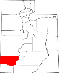
| County | Iron |
| Named for | Beryl |
| Elevation[1] | 5,154 ft (1,571 m) |
| Time zone | Mountain (MST) (UTC-7) |
| • Summer (DST) | MDT (UTC-6) |
| ZIP codes | 84714 |
| Area code(s) | 435 |
| GNIS feature ID | 1437500[1] |
| Historical population | |||
|---|---|---|---|
| Census | Pop. | %± | |
| 1940 | 122 | — | |
| 1950 | 239 | 95.9% | |
| Source: U.S. Census Bureau[2] | |||
Beryl is an unincorporated community in Iron County, Utah, United States. It has one school, Escalante Valley Elementary. Originally established as a Union Pacific Railroad siding, Beryl was named in 1901 after the semi-precious stone beryl found in the area.[3] The 2012 Beryl (zip 84714), UT, population is 944. There are 2 people per square mile (population density). The median age is 31.6. The US median is 37.3. 57.63% of people in Beryl (zip 84714), UT, are married. 9.86% are divorced. The average household size is 3.13 people. 40.54% of people are married, with children. 6.31% have children, but are single.
Climate
According to the Köppen Climate Classification system, Beryl has a semi-arid climate, abbreviated "BSk" on climate maps.[4]
References
- 1 2 U.S. Geological Survey Geographic Names Information System: Beryl, Utah. Retrieved on May 17, 2011.
- ↑ "Census of Population and Housing". U.S. Census Bureau. Retrieved November 4, 2011.
- ↑ Van Cott, John W. (1990). Utah Place Names. Salt Lake City, Utah: University of Utah Press. p. 30. ISBN 0-87480-345-4.
- ↑ Climate Summary for Beryl, Utah
