Bambara Maoudé
| Bambara Maoudé | |
|---|---|
| Commune and village | |
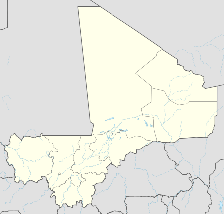 Bambara Maoudé Location in Mali | |
| Coordinates: 15°51′7″N 2°47′10″W / 15.85194°N 2.78611°WCoordinates: 15°51′7″N 2°47′10″W / 15.85194°N 2.78611°W | |
| Country |
|
| Region | Tombouctou Region |
| Cercle | Gourma-Rharous Cercle |
| Area | |
| • Total | 1,370 km2 (530 sq mi) |
| Elevation | 261 m (856 ft) |
| Population (2009 census)[1] | |
| • Total | 16,864 |
| • Density | 12/km2 (32/sq mi) |
| Time zone | GMT (UTC+0) |
Bambara Maoudé or Bambara Maoundé is a village and rural commune of the Cercle of Gourma-Rharous in the Tombouctou Region of Mali. The commune contains 44 villages and had a population of 16,874 in the 2009 census.
The commune includes Lake Banzena (15°40′00″N 2°35′30″W / 15.66667°N 2.59167°W) which serves as an important source of water for the Gourma elephants at the end of the dry season (April to June).[2] The intense competition between elephants and cattle at the lake led to the death of 21 elephants in 2010. As a result, the World Bank is coordinating efforts to provide alternative sources of water for the cattle so that the elephants can have exclusive access to the lake.[3]
References
- ↑ Resultats Provisoires RGPH 2009 (Région de Tombouctou) (PDF) (in French), République de Mali: Institut National de la Statistique.
- ↑ Canney, S.; Lindsey, K.; Hema, E.; Douglas-Hamilton, I.; Martin, V. (2007), The Mali elephant initiative: synthesis of knowledge, research and recommendations about the population, its range and the threats to the elephants of the Gourma (PDF), Save the Elephants.
- ↑ World Bank Fosters Partnerships to Preserve Mali’s Elephants, World Bank, 10 Sep 2010, retrieved 7 May 2012.
External links
- Plan de Sécurité Alimentaire Commune Rurale de Bambara Maoundé 2006-2010 (PDF) (in French), Commissariat à la Sécurité Alimentaire, République du Mali, USAID-Mali, 2006.
- Situation des points d'eau modernes au Mali en 2003: Bambara Maoudé (in French), Ministère des Mines, de l'Energie et de l'Eau, République du Mali, 2003.
Capital: Timbuktu | ||
| Diré Cercle |  | |
| Goundam Cercle |
| |
| Gourma-Rharous Cercle | ||
| Niafunké Cercle | ||
| Timbuktu Cercle |
| |
This article is issued from Wikipedia - version of the 7/20/2016. The text is available under the Creative Commons Attribution/Share Alike but additional terms may apply for the media files.