August 2009 Sumatra earthquake
 | |
| Date | 16 August 2009 |
|---|---|
| Magnitude | 6.7 Mw |
| Depth | 44.8 kilometres (27.8 mi) |
| Epicenter | 1°23′49″S 99°28′23″E / 1.397°S 99.473°ECoordinates: 1°23′49″S 99°28′23″E / 1.397°S 99.473°E |
| Areas affected |
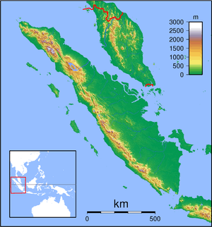
Indonesia Sumatra |
| Casualties | 7 injured |
The 2009 Sumatra earthquake occurred with a magnitude of 6.7 [1] on August 16, 2009 near Siberut, Mentawai Islands, Indonesia at 14:38 (local time), (07:38 UTC) injuring at least seven people. The earthquake was felt strongly in Padang.[2] The epicentre of the quake was located 43 kilometres (27 mi) southeast of Siberut Island off western Sumatra.
Casualties and damage
There were no reports of casualties or damage on Siberut Island, but an escalator collapsed at a mall in Padang, injuring five people. Two others were hurt when the fences of their homes gave way.
See also
References
- ↑ Magnitude 6.7 - KEPULAUAN MENTAWAI REGION, INDONESIA
- ↑ "France24.com". Archived from the original on 2009-08-22. Retrieved 2009-08-16.
This article is issued from Wikipedia - version of the 11/25/2016. The text is available under the Creative Commons Attribution/Share Alike but additional terms may apply for the media files.