Atuq Wachana (Arce-Punata)
This article is about the mountain on the border of the Esteban Arce Province and the Punata Province, Cochabamba Department, Bolivia. For other uses, see Atuq Wachana.
| Atuq Wachana | |
|---|---|
 Atuq Wachana Location within Bolivia | |
| Highest point | |
| Elevation | 3,862 m (12,671 ft) [1] |
| Coordinates | 17°43′49″S 65°45′23″W / 17.73028°S 65.75639°WCoordinates: 17°43′49″S 65°45′23″W / 17.73028°S 65.75639°W |
| Geography | |
| Location |
Bolivia, Cochabamba Department |
| Parent range | Andes |
Atuq Wachana (Quechua atuq fox, wacha birth, to give birth, -na a suffix,[2] 'where the fox is born', also spelled Atoj Huachana) is a 3,862-metre-high (12,671 ft) mountain in the Bolivian Andes. It is located in the Cochabamba Department, Esteban Arce Province, Sacabamba Municipality, and in the Punata Province, Cuchumuela Municipality. Atuq Wachana lies between Wila Jaqhi in the northeast and Pukara in the southwest.[1][3]
References
- 1 2 Bolivia 1:100,000 Punata 3735
- ↑ Teofilo Laime Ajacopa, Diccionario Bilingüe Iskay simipi yuyayk'ancha, La Paz, 2007 (Quechua-Spanish dictionary)
- ↑ "Sacabamba". INE, Bolivia. Retrieved April 5, 2016.
Capital: Cochabamba | ||
| Provinces | 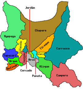 | |
| Municipalities (and seats) |
| |
This article is issued from Wikipedia - version of the 5/2/2016. The text is available under the Creative Commons Attribution/Share Alike but additional terms may apply for the media files.