Apetina
| Apetina | |
|---|---|
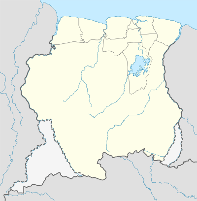 Apetina Location in Suriname | |
| Coordinates: 3°30′N 55°04′W / 3.500°N 55.067°W | |
| Country |
|
| District | Sipaliwini District |
| Resort (municipality) | Tapanahony |
Apetina is a village in the South Eastern jungle area of Suriname within the Tapanahony resort in the Sipaliwini District. It is located at 3°30′N 55°04′W / 3.500°N 55.067°WCoordinates: 3°30′N 55°04′W / 3.500°N 55.067°W in the jungle on the small hills along the river Tapanahoni. Nearby points include Tebu Mountain, at around 347 m (1,138 ft) in height, and the Man Gandafutu waterfall. The majority of Apetina's population is the Wayana people. These Indians mostly originate from Brazil and once have fled because of tribal warfare. There also is primary school and an airstrip located near the Indian village of Apetina. [1]
References
This article is issued from Wikipedia - version of the 5/18/2013. The text is available under the Creative Commons Attribution/Share Alike but additional terms may apply for the media files.