Anapaike
| Anapaike | |
|---|---|
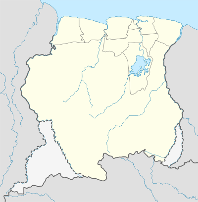 Anapaike Location in Suriname | |
| Coordinates: 3°24′42″N 54°01′33″W / 3.41167°N 54.02583°W | |
| Country |
|
| District | Sipaliwini District |
| Resort (municipality) | Tapanahony |
| Elevation | 366 ft (112 m) |
Anapaike is an indigenous village in Suriname. It is on the banks of the Lawa River, which forms the border with French Guiana. Anapaike is the name of the first tribal chief of the Wayana Indian people. The village has an airstrip.
Geography
The geographical name of the village is the indigenous word Kawemhaken. This place is located in the jungle in the Tapanahony Resort which belongs to the district Sipaliwini. Farther north on the Lawa River is Benzdorp, a gold-mining place. North of Anapaike are the Dana Mountains, "the Goeje Gebergte," whose highest peak is 2,519 metres (8,264 ft).
Coordinates: 3°25′N 54°02′W / 3.417°N 54.033°W
References
This article is issued from Wikipedia - version of the 5/20/2016. The text is available under the Creative Commons Attribution/Share Alike but additional terms may apply for the media files.