Alamikamba Airport
| Alamikamba Airport | |||||||||||
|---|---|---|---|---|---|---|---|---|---|---|---|
| IATA: none – ICAO: MNAL | |||||||||||
| Summary | |||||||||||
| Airport type | Public | ||||||||||
| Serves | Alamikamba | ||||||||||
| Elevation AMSL | 65 ft / 20 m | ||||||||||
| Coordinates | 13°30′50″N 84°14′50″W / 13.51389°N 84.24722°WCoordinates: 13°30′50″N 84°14′50″W / 13.51389°N 84.24722°W | ||||||||||
| Map | |||||||||||
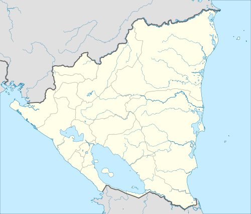 MNAL Location of the airport in Nicaragua | |||||||||||
| Runways | |||||||||||
| |||||||||||
Alamikamba Airport (ICAO: MNAL) is an airstrip serving the Prinzapolka River village of Alamikamba in the North Caribbean Coast Autonomous Region, Nicaragua. The runway is 3 kilometres (1.9 mi) northwest of the river bend.
See also
 Nicaragua portal
 Aviation portal
- List of airports in Nicaragua
- Transport in Nicaragua
References
External links
- Jim Drebert's Gallery Four gallery photos
- HERE Maps - Alamikamba
- OpenStreetMaps - Alamikamba
- OurAirports - Alamikamba
- Alamikamba
This article is issued from Wikipedia - version of the 4/15/2016. The text is available under the Creative Commons Attribution/Share Alike but additional terms may apply for the media files.