1949 Tierra del Fuego earthquake
 | |
| Date | December 17, 1949 |
|---|---|
| Origin time | 06:53:30 UTC [1] |
| Magnitude | Mw 7.8 [1] |
| Epicenter | 54°00′S 71°00′W / 54.0°S 71.0°WCoordinates: 54°00′S 71°00′W / 54.0°S 71.0°W [1] |
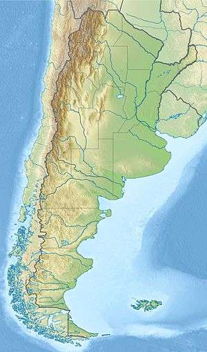
The 1949 Tierra del Fuego earthquake occurred on the island of Tierra del Fuego on 17 December at 06:53:30. Its epicenter was located in the east of the Chilean Tierra del Fuego Province, close to the Argentine border, at a depth of 30 km (19 mi).
It reached 7.8 on the moment magnitude scale and was the most powerful earthquake ever recorded in the south of Argentina and one of the most powerful in austral Chile. It was felt with intensities as high as VIII (Severe) on the Mercalli intensity scale, and affected the settlements of Punta Arenas and Río Gallegos.
See also
References
- 1 2 3 Engdahl, E. R.; Vallaseñor, A. (2002). "Global seismicity: 1900–1999". International Handbook of Earthquake & Engineering Seismology (PDF). Part A, Volume 81A (First ed.). Academic Press. p. 679. ISBN 978-0124406520.
External links
- (Spanish) Instituto Nacional de Prevención Sísmica. Listado de Terremotos Históricos.
This article is issued from Wikipedia - version of the 11/1/2016. The text is available under the Creative Commons Attribution/Share Alike but additional terms may apply for the media files.