1949 Karlıova earthquake
 | |
| Date | 17 August 1949 |
|---|---|
| Magnitude | 6.7 Ms[1] |
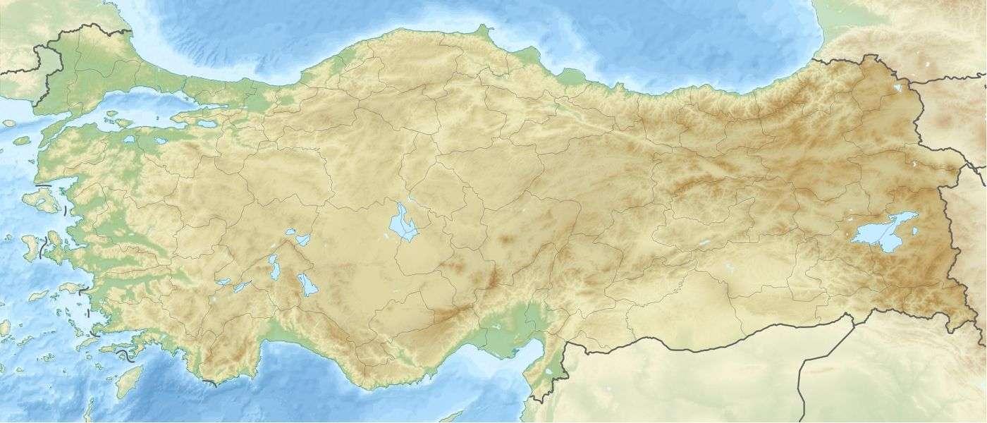
| Epicenter | 39°00′N 40°30′E / 39.0°N 40.5°ECoordinates: 39°00′N 40°30′E / 39.0°N 40.5°E[2] |
| Areas affected | Turkey, Karlıova |
| Max. intensity | X (Extreme) |
| Casualties | 320 |

The 1949 Karlıova earthquake occurred at 18:43 UTC on 17 August with an epicenter near Karlıova in Bingöl Province, Eastern Anatolia Region of Turkey. It had an estimated magnitude of 6.7,[1] a maximum felt intensity of X (Extreme) on the Mercalli intensity scale, and caused 320 casualties.[2]
Tectonic setting
The Karlıova region is the location of the triple junction between the boundaries of the Eurasian Plate, Anatolian Plate and the Arabian Plate, the North Anatolian Fault, East Anatolian Fault and the Mus fold and thrust belt, which passes to the east into the Zagros fold and thrust belt. The earthquake occurred at the eastern end of the North Anatolian Fault.[3]
Characteristics
The seismic moment estimated for this earthquake is 3.5E+26, equivalent to a magnitude of 7.1 on the moment magnitude scale. The estimated fault length involved is 63 km.[4]
See also
References
- 1 2 Boğaziçi Üniversitesi. "Bogazici University Kandilli Observatory and Earthquake Research Institute National Earthquake Monitoring Center (NEMC) List of earthquakes 1900-2004" (in Turkish). Retrieved 27 August 2010.
- 1 2 NGDC. "Comments for the Significant Earthquake". Retrieved 27 August 2010.
- ↑ Hubert-Ferrari, A.; King, G.; van der Woerd, J.; Villa I., Altunel E. & Armijo R. (2009). "Long-term evolution of the North Anatolian Fault: new constraints from its eastern termination". In van Hinsbergen D.J.J., Edwards M.A. and Govers R. Collision and collapse at the Africa-Arabia-Eurasia subduction zone (PDF). Special Publications. 311. London: Geological Society. pp. 133–154. ISBN 978-1-86239-270-0. Retrieved 21 January 2011.
- ↑ Ellsworth, W.L. "Appendix D: Magnitude and Area Data for Strike Slip Earthquakes". Earthquake Probabilities in the San Francisco Bay Region: 2002–2031 (PDF). Open File Reports. 03-214. USGS. Retrieved 19 January 2011.