Rader Creek, Montana
Rader Creek is a census-designated place (CDP) in Jefferson County, Montana, United States. The population was 363 at the 2010 census.[2]
Rader Creek, Montana | |
|---|---|
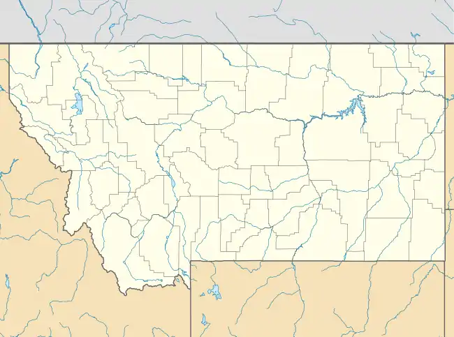 Rader Creek Location of Rader Creek, Montana  Rader Creek Rader Creek (the United States) | |
| Coordinates: 45°50′44″N 112°18′58″W | |
| Country | United States |
| State | Montana |
| County | Jefferson |
| Area | |
| • Total | 20.25 sq mi (52.45 km2) |
| • Land | 20.25 sq mi (52.45 km2) |
| • Water | 0.00 sq mi (0.00 km2) |
| Elevation | 5,520 ft (1,680 m) |
| Population (2010) | |
| • Total | 363 |
| • Density | 18/sq mi (6.9/km2) |
| Time zone | UTC-7 (Mountain (MST)) |
| • Summer (DST) | UTC-6 (MDT) |
| Area code(s) | 406 |
| FIPS code | 30-60450 |
| GNIS feature ID | 2583837[1] |
Geography
The CDP is in southwestern Jefferson County and is sparsely settled. An unincorporated place named Nineteen Mile is along Montana Highway 2 in the western part of the CDP, and Cactus Junction, at the intersection of MT 2 and MT 41, is at the eastern border of the CDP. MT 2 (former U.S. Route 10) leads east 11 miles (18 km) to Whitehall and northwest 20 miles (32 km) to Butte, while MT 41 leads south 23 miles (37 km) to Twin Bridges.
According to the U.S. Census Bureau, the Rader Creek CDP has an area of 20.3 square miles (52.5 km2), all land. Rader Creek, the community's namesake, flows out of mountains to the northwest near the Continental Divide, joining Little Pipestone Creek in the east part of the CDP. The creeks are part of the Jefferson River watershed, eventually flowing to the Missouri River.
References
- U.S. Geological Survey Geographic Names Information System: Rader Creek, Montana
- "Geographic Identifiers: 2010 Census Summary File 1 (G001): Rader Creek CDP, Montana". American Factfinder. U.S. Census Bureau. Archived from the original on February 13, 2020. Retrieved August 22, 2018.
Municipalities and communities of Jefferson County, Montana, United States | ||
|---|---|---|
| Towns | 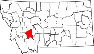 Jefferson County map | |
| CDPs | ||
| Unincorporated communities | ||
| ||