Petlovac
Petlovac (Hungarian: Baranyaszentistván, German: Sankt Stefan)[3] is a village and municipality in the western part of Baranja, which comprise the northern part of Osijek-Baranja County in Croatia. Petlovac is underdeveloped municipality which is statistically classified as the First Category Area of Special State Concern by the Government of Croatia.[4]
Petlovac | |
|---|---|
| Municipality of Petlovac Općina Petlovac | |
 | |
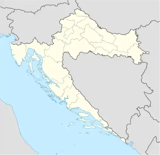 Petlovac Location of Petlovac in Croatia | |
| Coordinates: 45°45′31″N 18°31′41″E | |
| Country | |
| County | |
| Government | |
| • Municipal mayor | Milan Knežević |
| Area | |
| • Total | 93.31 km2 (36.03 sq mi) |
| Elevation | 90 m (300 ft) |
| Population (2011 census) | |
| • Total | 2,405[2] |
| Time zone | UTC+1 (CET) |
| • Summer (DST) | UTC+2 (CEST) |
| Postal codes | 31321 Petlovac |
| Area code(s) | (+385) 31 |
Name
Its name derived from the word "petao" (which means "rooster" in English).
Municipality of Petlovac
Population
Population data graph 1857.-2011.[5]

Municipality of Petlovac has 2,405 inhabitants (2011 census), including:
- 73.22% Croats
- 13.72% Hungarians
- 5.07% Serbs
- 4.53% Romani
Geography
It is located between border with Hungary in the north-west, Baranja municipalities of Beli Manastir and Jagodnjak in the east and Slavonia region in the south-west.
The municipality of Petlovac include following settlements:
Petlovac (settlement)
History
Till 1991. part of settlement was Zeleno Polje which is now independent settlement.

Ethnic composition, 1991. census
| Petlovac |
|---|
| 1991 |
total: 1,012 ethnically undeclared 15 (1.48%) unknown 17 (1.67%)
|
Austria-Hungary 1910. census
| Petlovac | |
|---|---|
| Population by ethnicity | Population by religion |
total: 962 | |
- In 1910. census together with settlement Zeleno Polje.
References
- "Općine na područjima posebne državne skrbi Republike Hrvatske" (PDF). Croatian Chamber of Economy. Retrieved 15 April 2020.
- "Population by Ethnicity, by Towns/Municipalities, 2011 Census: County of Osijek-Baranja". Census of Population, Households and Dwellings 2011. Zagreb: Croatian Bureau of Statistics. December 2012.
- "Archived copy" (PDF). Archived from the original (PDF) on 29 October 2013. Retrieved 8 March 2013.CS1 maint: archived copy as title (link)
- Lovrinčević, Željko; Davor, Mikulić; Budak, Jelena (June 2004). "AREAS OF SPECIAL STATE CONCERN IN CROATIA- REGIONAL DEVELOPMENT DIFFERENCES AND THE DEMOGRAPHIC AND EDUCATIONAL CHARACTERISTICS". Ekonomski pregled, Vol.55 No.5-6. Archived from the original on 18 August 2018. Retrieved 25 August 2018.
- Naselja i stanovništvo Republike Hrvatske 1857.-2001., www.dzs.hr
- Naselja i stanovništvo Republike Hrvatske 1857.-2001., www.dzs.hr
Literature
- Book: "Narodnosni i vjerski sastav stanovništva Hrvatske, 1880–1991: po naseljima, autor: Jakov Gelo, izdavač: Državni zavod za statistiku Republike Hrvatske, 1998., ISBN 953-6667-07-X, ISBN 978-953-6667-07-9;
| Wikimedia Commons has media related to Petlovac. |
Subdivisions of Osijek-Baranja County | ||
|---|---|---|
| Cities and towns |  Coat of arms of Osijek-Baranja County | |
| Municipalities |
| |