Barkal Upazila
Barkal (Bengali: বরকল) is an upazila (sub-district) of Rangamati District[1] in the Division of Chittagong, Bangladesh. Tribal people call it as Borhol বড়হল .
Barkal
Barkal | |
|---|---|
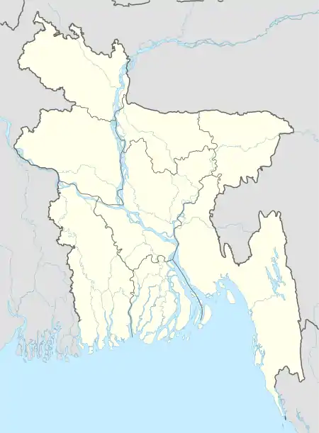 Barkal Location in Bangladesh | |
| Coordinates: 22°44′N 92°21.5′E | |
| Country | |
| Division | Chittagong Division |
| District | Rangamati District |
| Area | |
| • Total | 760.88 km2 (293.78 sq mi) |
| Population (1991) | |
| • Total | 28,839 |
| • Density | 38/km2 (98/sq mi) |
| Time zone | UTC+6 (BST) |
| Website | Official Map of Barkal |
Geography
Barkal is located at 22.7333°N 92.3583°E. It has 4,782 households and a total area of 760.88 km2.

Demographics
According to the 1991 Bangladesh census, Barkal has a population of 28,839. Males constitute 57.1% of the population, and females, 42.9%. The population aged 18 or over is 15,770. Barkal has an average literacy rate of 30.4% (7+ years), against the national average of 32.4%.[2]


Administration
Barkal Upazila is divided into five union parishads: Aimachara, Barkal, Bushanchara, Borohorina, and Subalong. The union parishads are subdivided into 28 mauzas and 180 villages.[3]
Subalong Union is known for its waterfalls and the natural environment of Kaptai Lake. Barkal Union is situated on the banks of the Karnafuli River.
References
- Atikur Rahman (2012), "Barkal Upazila", in Sirajul Islam and Ahmed A. Jamal (ed.), Banglapedia: National Encyclopedia of Bangladesh (Second ed.), Asiatic Society of Bangladesh
- "Population Census Wing, BBS". Archived from the original on 2005-03-27. Retrieved November 10, 2006.
- "District Statistics 2011: Rangamati" (PDF). Bangladesh Bureau of Statistics. Archived from the original (PDF) on 13 November 2014. Retrieved 14 July 2014.
| Upazila/Thana: | ||
|---|---|---|
